In addition, Linda Freeman arranged for us to ride in Dragon Egg, the hot-air balloon of Jane English. We lifted off in the early morning from the small airport at Montague, several miles north of Mt. Shasta. Our flight reached approximately 500 feet (150 m) height above the Shasta valley. The balloon proved to be a very stable platform for low-level aerial photography. All photographs taken in May, 1999; © J.S. Aber.
|
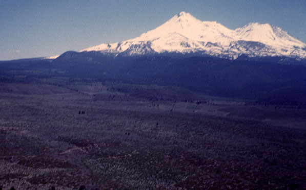
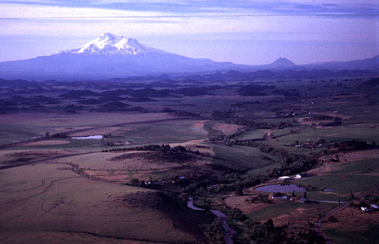
| View of Mt. Shasta from the north. The highest peak is Mt. Shasta at 14,162 feet altitude. The slightly lower peak to right is Shastina, another volcanic cone. |
|
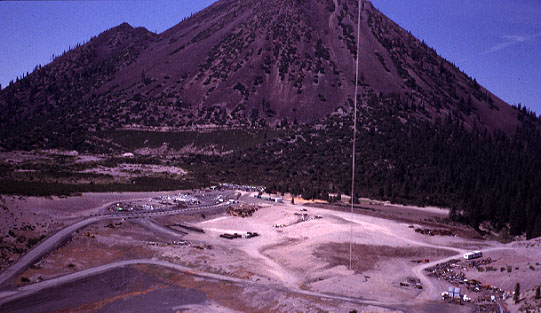
| The large hill in background is Black Butte, a cone-shaped plug intrusion that stands 6325 feet high. It is located at the base of Mt. Shasta beside I-5. In the foreground is a regional trash and recycling center, in which materials are sorted for eventual disposition. |
|
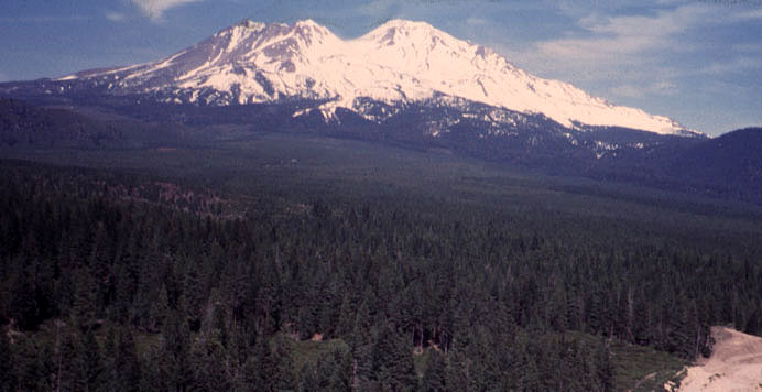
| Mt. Shasta seen from the southwest. The slightly lower peak to left is Shastina, which formed about the same time as Black Butte, 9500 years ago. |
|
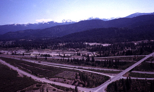
| Interstate highway 5 and exit for Mount Shasta city. View toward the southwest with the Castle Crags in the background. |
|
| Interstate highway 5 at Mount Shasta city. View toward the west with Mt. Eddy of the Klamath Mountains in the background. |
|
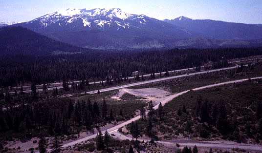
| Living Memorial Garden Sculpture Park on U.S. highway 97 northeast of Weed, California. Sculptures are placed in a spoke pattern in the landscape and honor veterans of the Vietnam War. |
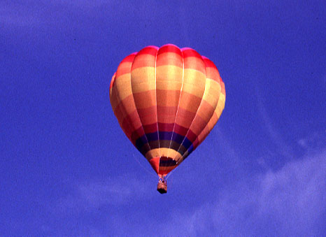
| Dragon Egg in flight above the Shasta valley. This is a relatively small balloon that can carry a maximum of four persons. | ||
| View of Mt. Shasta from the north with the Shasta River and valley in the foreground. The small dark hill on the right horizon is Black Butte. | ||
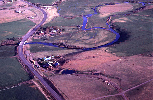
| Shasta River, agricultural landscape and state highway 3 near Montague, California. | ||
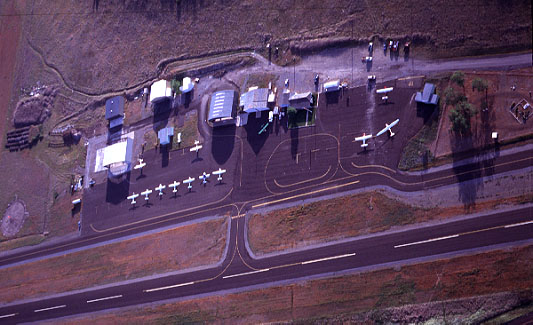
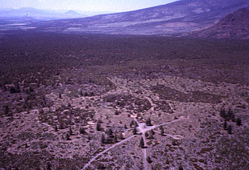
| Low-oblique view of the Montague airport, near Yreka, California. | ||
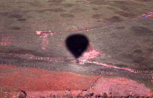
| Balloon shadow on pasture. Note the bright "halo" around the lower part of
the shadow. This is an example of an opposition effect.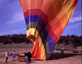
End of the flight--deflating the balloon in a farmyard. A crew of
3-4 people is necessary to handle launch and recovery of the balloon. | |

| Last update 24 May 2002. © by the authors. |