
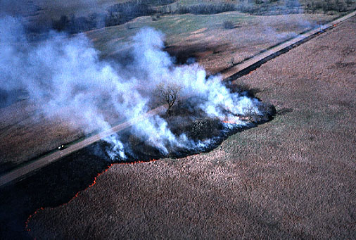
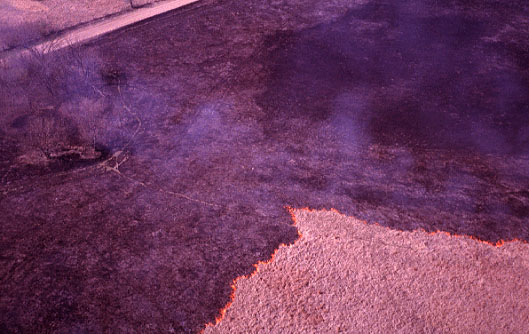
| Fire is set along the southern boundary of the reservation, along the road and around a patch of brush and trees. The initial fire is set to burn upwind, so it progresses slowly across the pasture. |
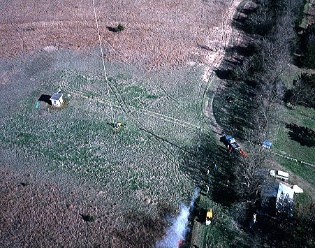
| Fire starters (lower center) approach the kite flyers (left center). Soon after, the kite flyers moved to stay away from smoke. |
Burning techniques have become fairly sophisticated in recent years. A controlled burn usually involves a large number of people, often with neighboring landowners cooperating, to set and contain fires in desired tracts of prairie. Weather conditions are a key factor. Favorable conditions include light to moderate wind, clear and dry air, and previous rain to wet the soil. When such conditions exist, fires may be seen in all parts of the Flint Hills, both day and night. However, the spring weather some years is too dry, or wet, or windy, so little burning takes place.
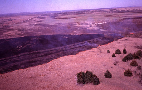
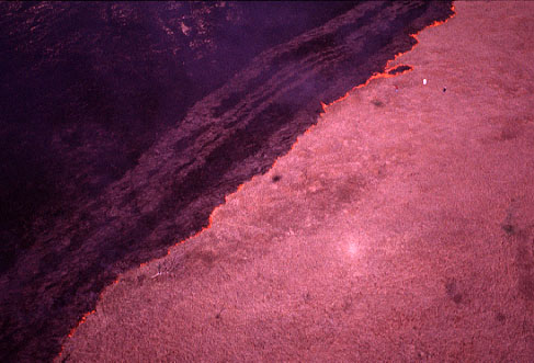
| The burn is started by setting fire along one edge of the designated area. The fire then advances in a linear fashion across the field. The pasture in the background was burned a few days prior to this picture. |
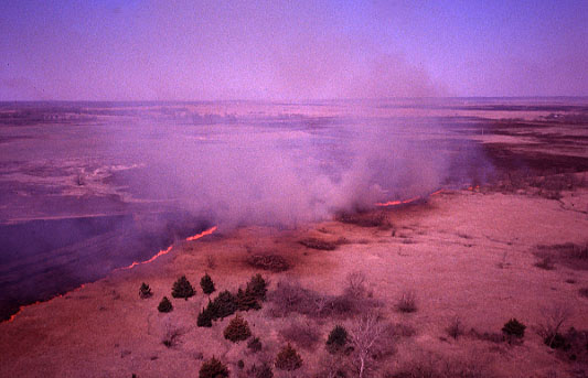
| The fire flares up when it encounters taller grass or is blown by a wind gust. Smoke begins to billow up from the larger flames. |
| In this view, the fire has attained considerable "momentum" and a thick cloud of smoke is approaching the camera rig. Notice the shadow cast by the smoke plume. |
| Ash-filled smoke surrounds the camera and reduces ground visibility in this picture. |
Taking KAP amid a prairie fire is not for the faint-hearted kite flyer. Besides the obvious physical danger of flames, there are several other safety and equipment considerations. Smoke can be quite troublesome, as it irritates eyes and inhibits breathing. It's important for the kite flyers to be highly mobile, so as to move away from smoke and flames. Swirling clouds of ash-filled smoke cause havoc on kite handling. Smoke also reduces visibility of the kite and camera equipment in flight. After the fire has passed, the land is covered with black ash and glowing embers. Attempting to land the KAP rig and kite is a tricky procedure, as the smallest spark could burn a hole in the kite sail. Given a successful KAP mission, the final consideration is the long-lasting smell of burned grass that clings to all clothing and equipment.
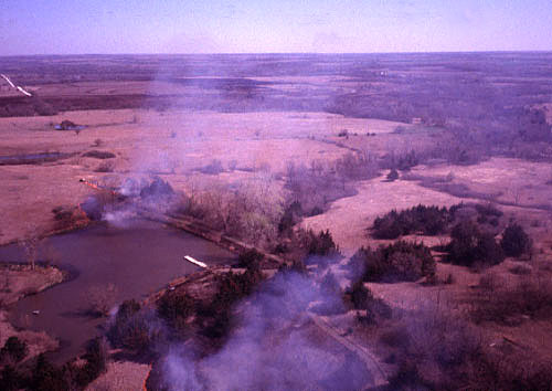
| Fire progresses around the south (near) side of Gladfelter Pond and more fire is set in the prairie to the north (far) side. |
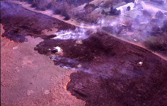
| Fire moves across the pasture immediately west of the main building complex. The fire is quite smoky here because of brome grass, a cool-season grass that has already started to green up at this time of year. |
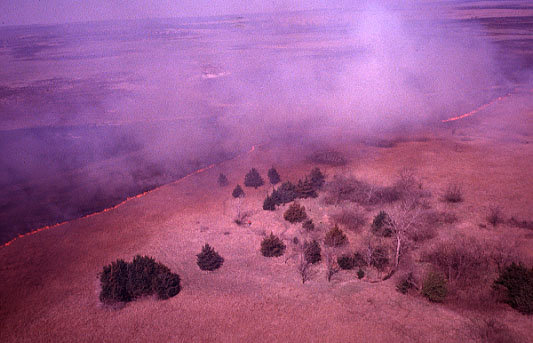
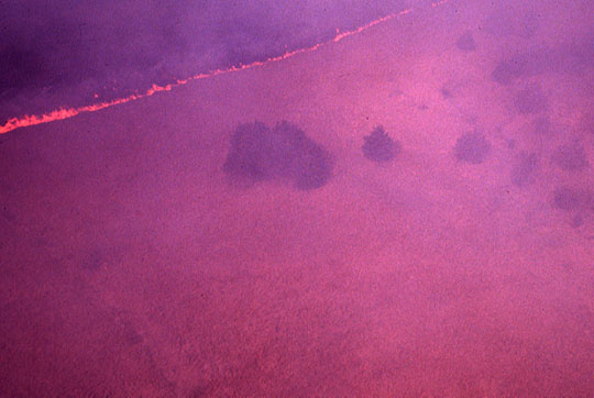
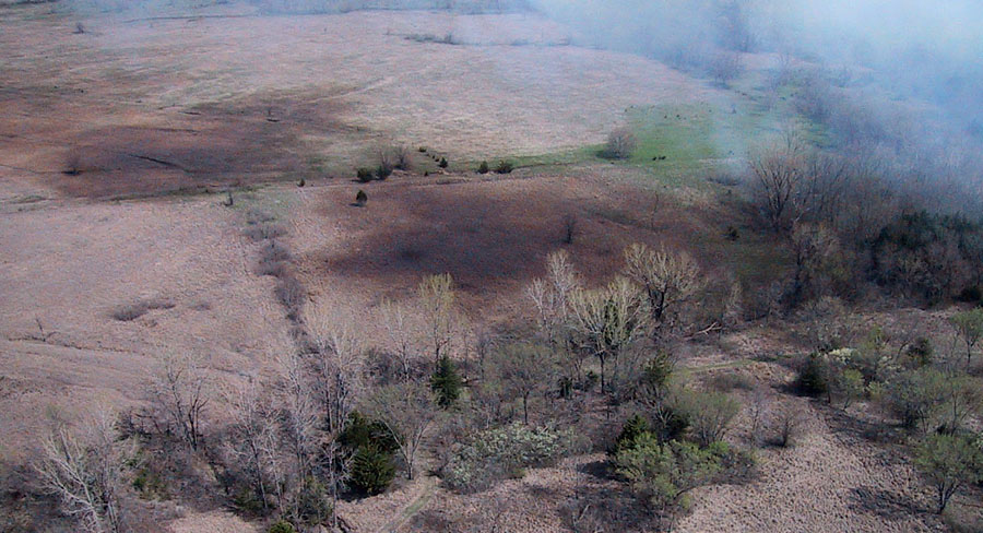
| Fire advances as two fronts across the pasture. Interesting patterns can be seen in the freshly burned areas. |

| As seen directly from above, the fire is a slightly ragged wall of flame moving across the field. |
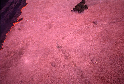
| Interesting lighting effects are visible in this view. The bright spot to lower right is the opposition effect, and the kite shadow is the dark spot just in front of fire at scene center. Notice people on the ground near the fire. |
| Team of three kite flyers to lower right, inside an old agricultural terrace, and ground-based photographers near the fire on left. The opposition effect is also visible to lower left. |
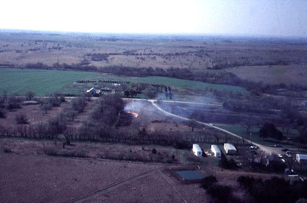
| View southward showing the early stage of burning adjacent to the entrance road. Reservation buildings and living quarters are visible in lower right corner of scene. |
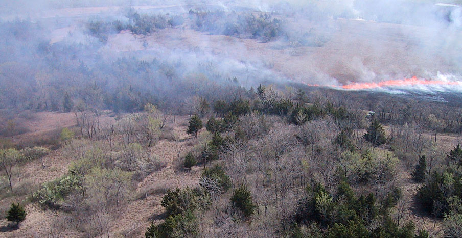
| Eastward view over the northeastern portion of Ross Reservation. Fire was started around the perimeter of the prairie and flames are converging from opposite sides toward the field center (right background). The woodland in foreground was not burned. Digital-camera image. |
| Heavy smoke cloud obscures the ground (below) and creates dark shadows downwind from the fire (left) in the northeastern portion of the reservation. Digital-camera images. |
Return to KAP gallery or Ross Reservation.
Text and images © J.S. and S.W. Aber (2001).