Environmental Research
Cheyenne Bottoms, Kansas
2014 through 2017
2014 Events
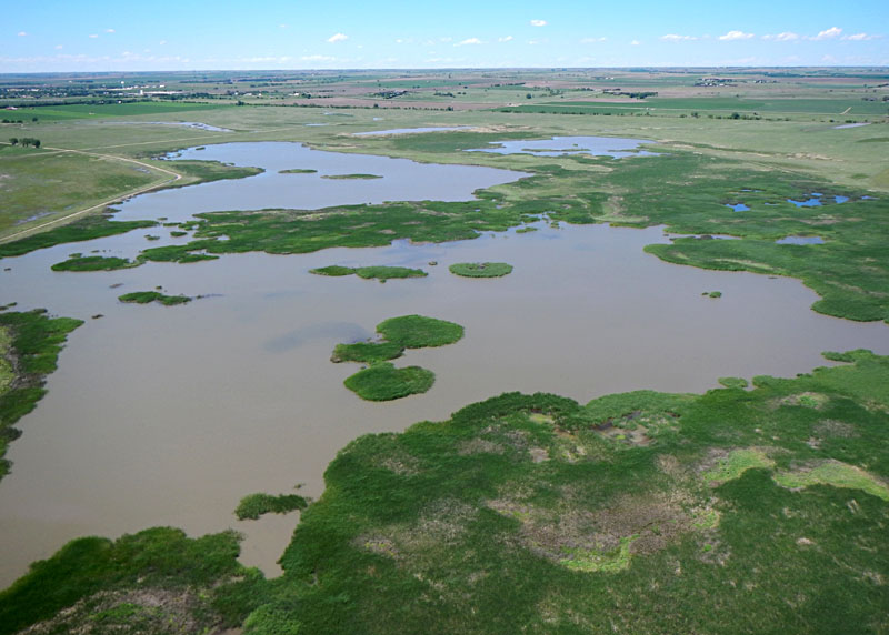
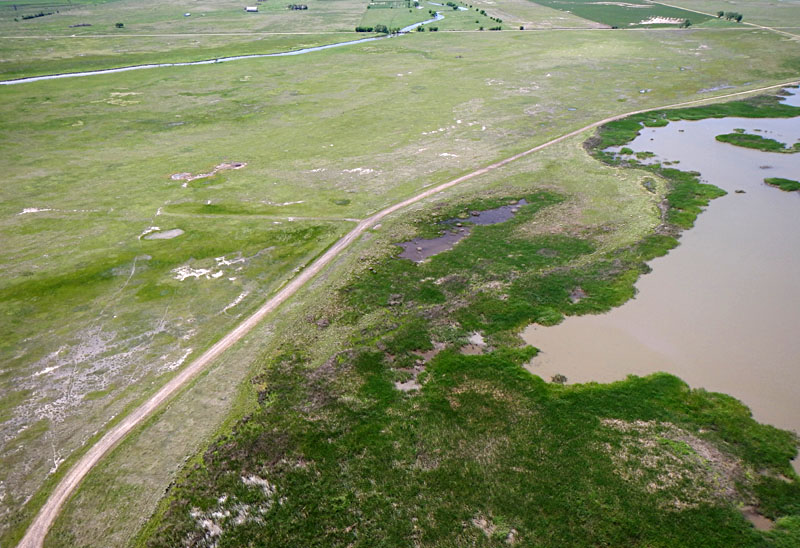
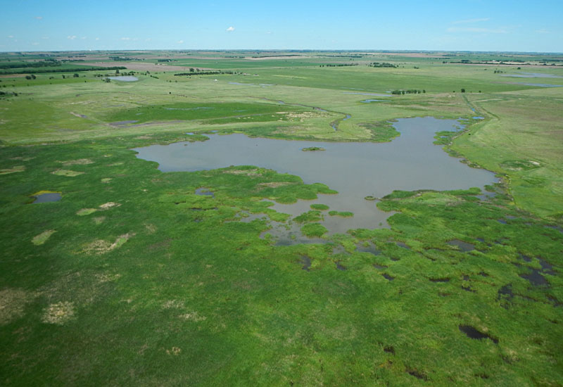
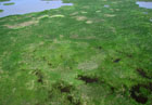
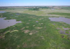
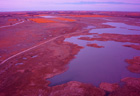
Following a long and relatively dry winter, drought conditions were starting to develop again in central Kansas in the early spring. Most shallow pools had drained or dried, but the main pool still held water at a level close to that of the previous fall. Traces of the August 2013 flood had largely disappeared. Emergent wetland vegetation was just beginning to sprout and green up in late April, and many shorebirds and waterfowl were present—feeding, breeding and nesting.
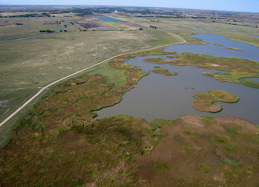
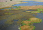
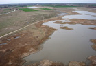
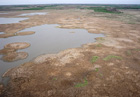
Late April status
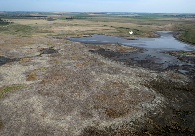
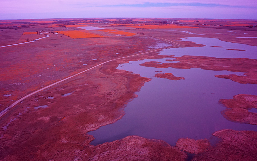
| Left: looking northward with some emergent vegetation beginning to green up in the marsh. Right: view toward the northeast showing the delta of Deception Creek (*).
| 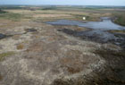 |
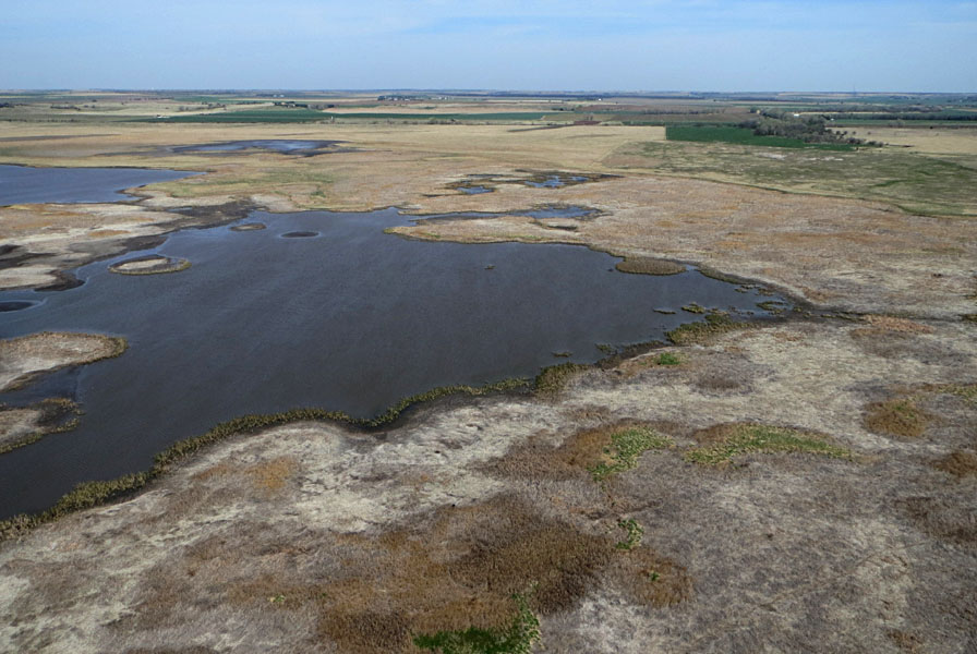
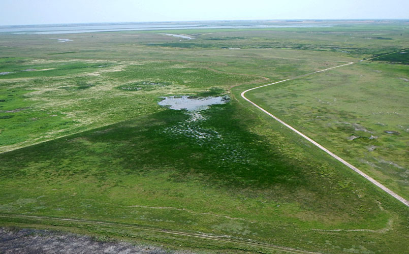
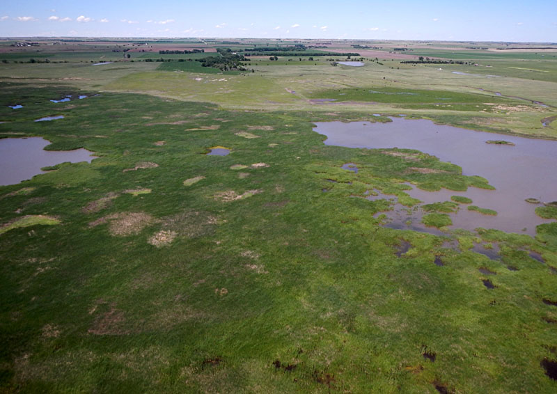
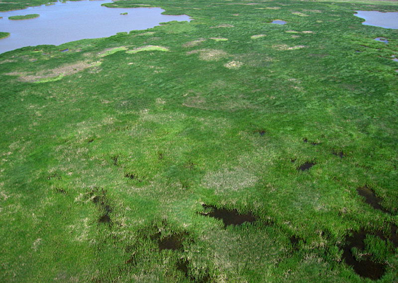
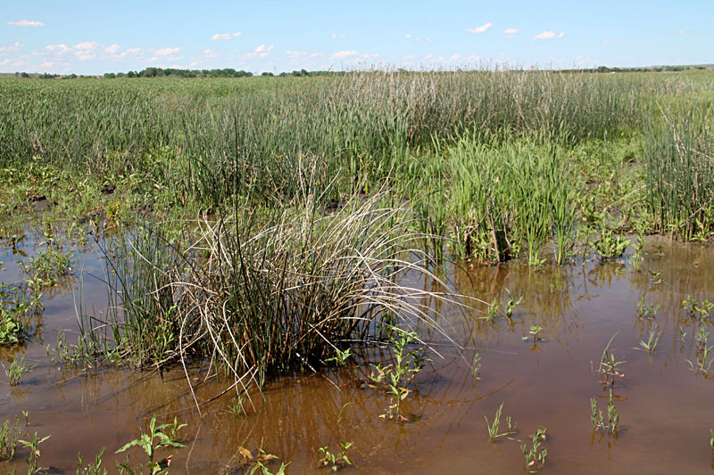
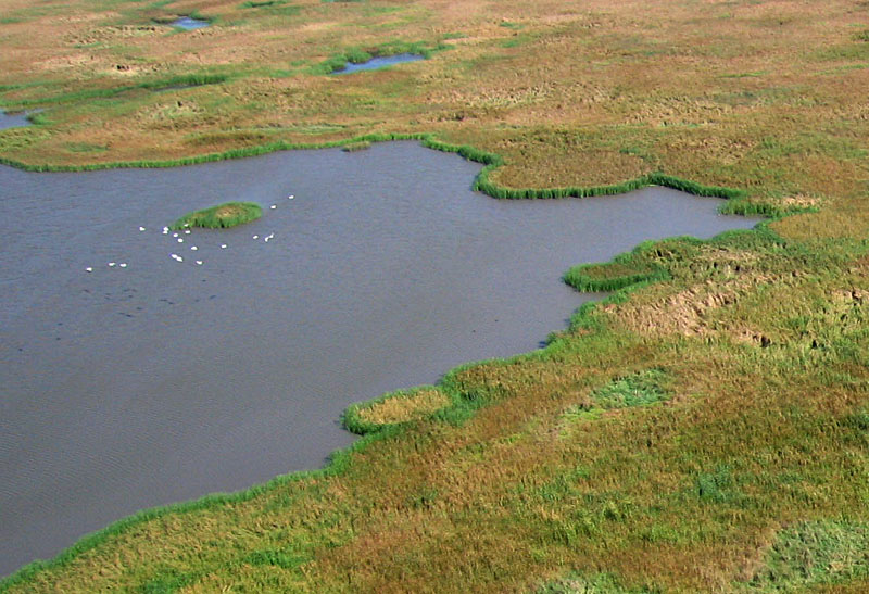
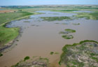
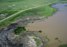
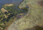
| Left: Looking toward the southeast with the state wildlife area in the left distance. Right: close-up shot of the marsh and area where avocets (*) were feeding in shallow water.
|  |
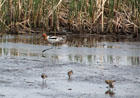
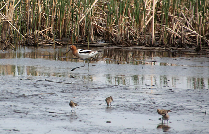
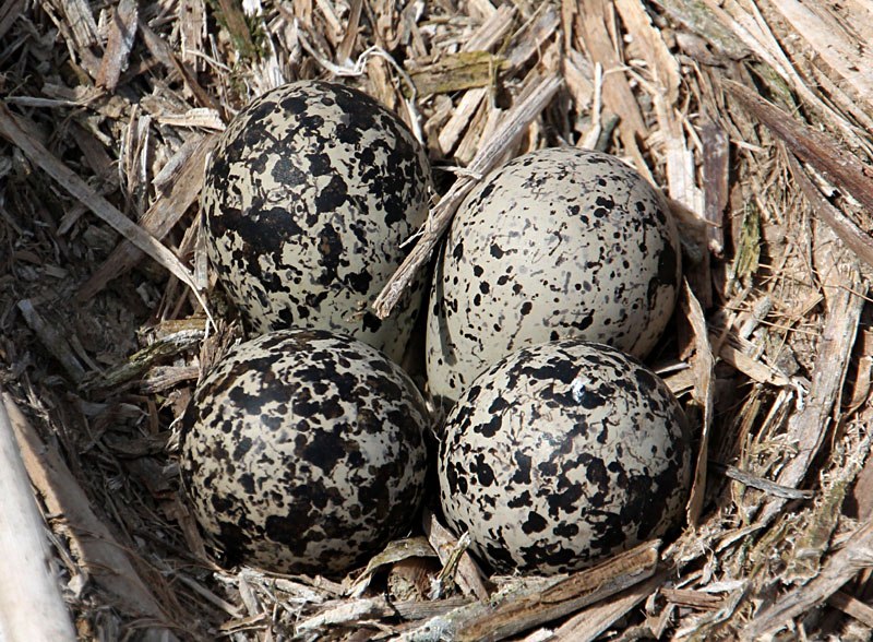
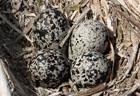
| American avocets (Recurvirostra americana) were numerous on the marsh. Left: avocet wading in shallow water with smaller Baird's sandpipers (Calidris bairdii). Right: probable avocet nest and camouflaged eggs in cattail thatch.
| 
|
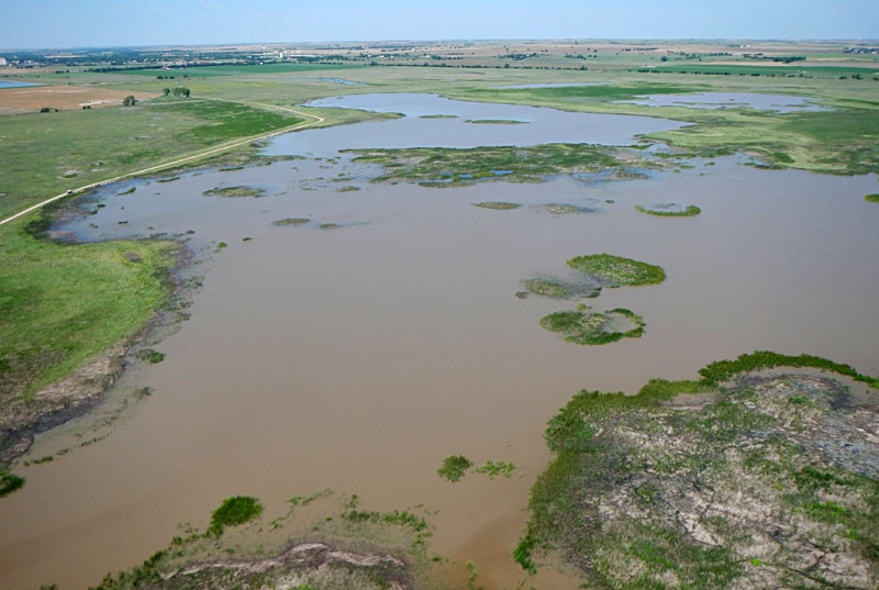
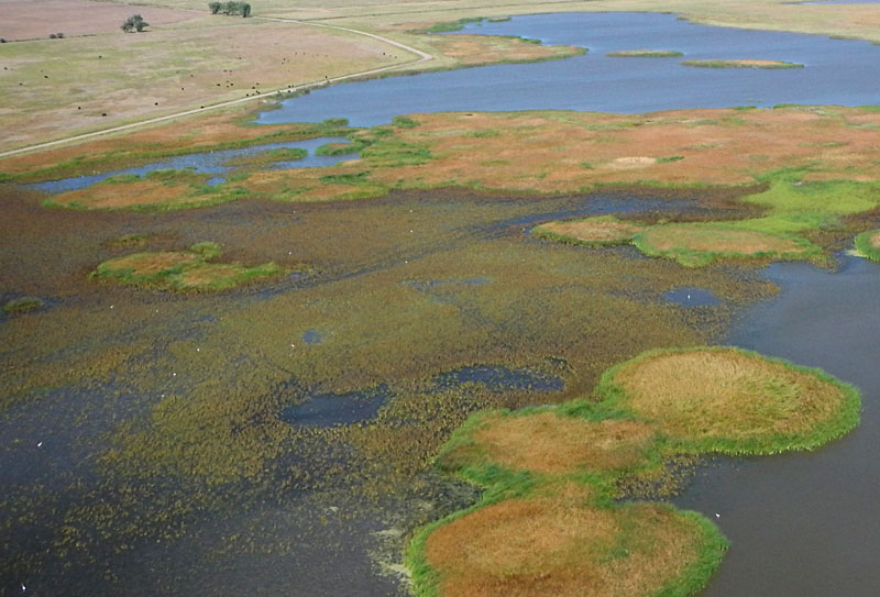
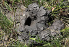
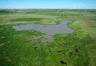
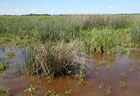
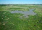
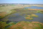
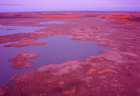
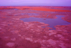
Heavy, repeated rains arrived in June, and TNC marshes were refilled with muddy runoff. We acquired kite aerial photography immediately after these runoff events. Emergent vegetation responded rapidly, although considerable dead thatch and wrack remained in the marsh complex. Mosquitos, dragonflies and other insects were abundant in wet meadows, and crayfish chimneys occupied the pool margins.
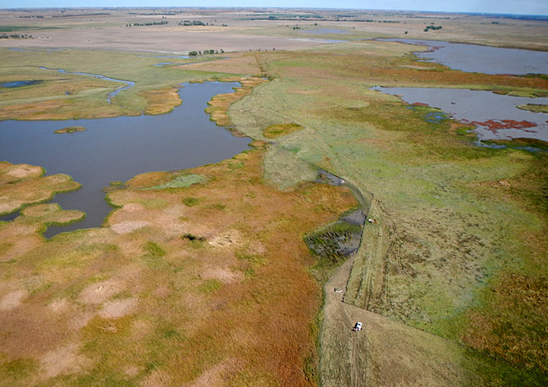
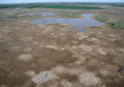
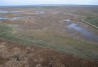
Late June status
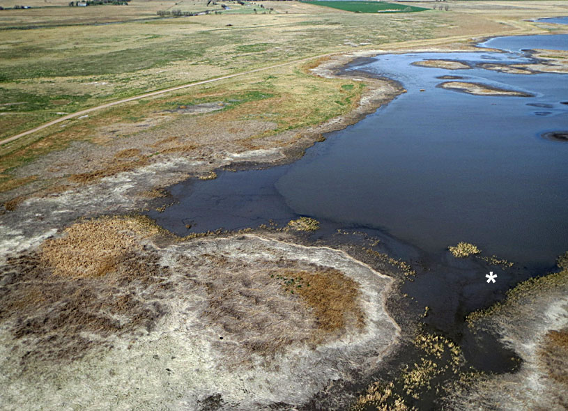
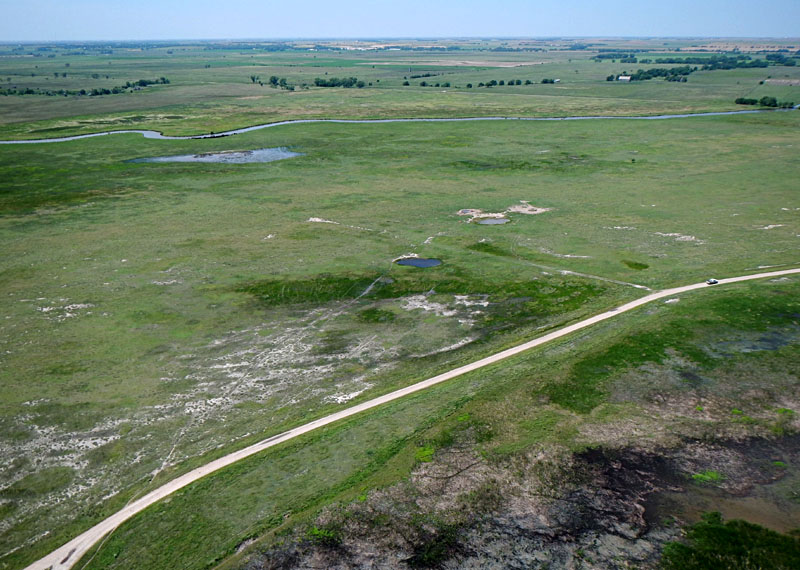
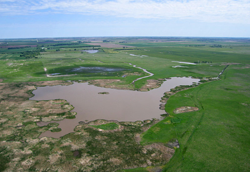
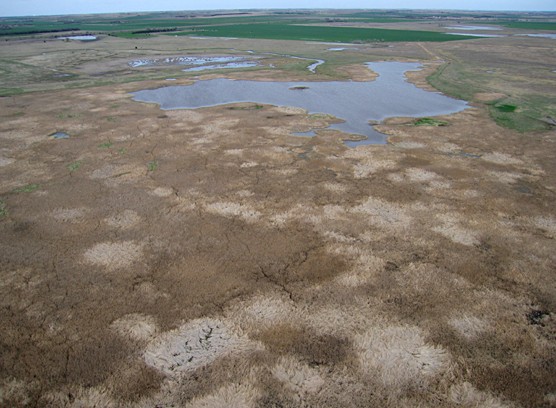
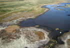
| Left: looking toward the northwest with Hoisington in the background. Right: shot toward the northeast showing the delta of Deception Creek at top center of view. Note muddy water around the creek inlet.
|  |
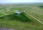
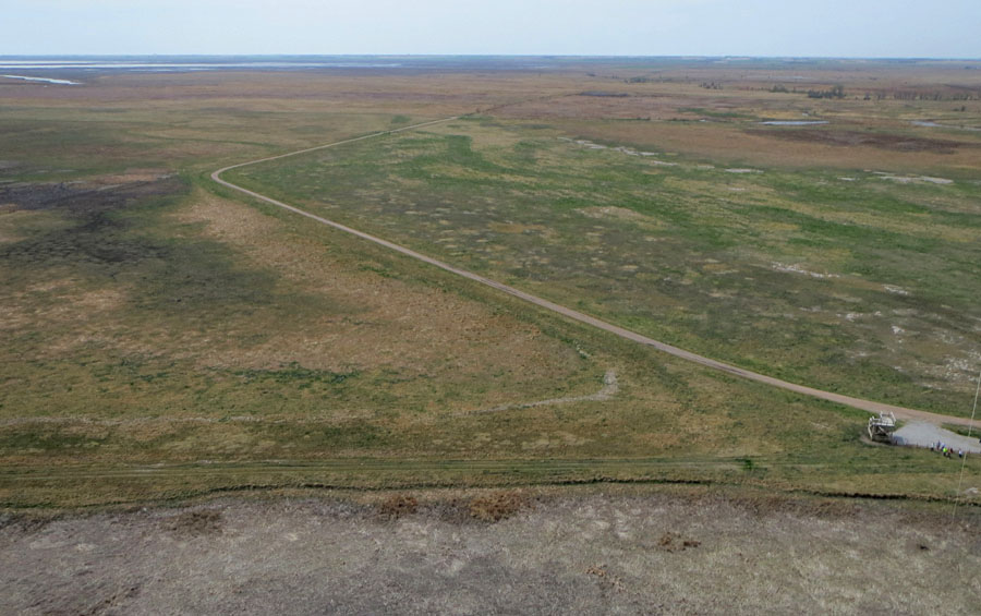
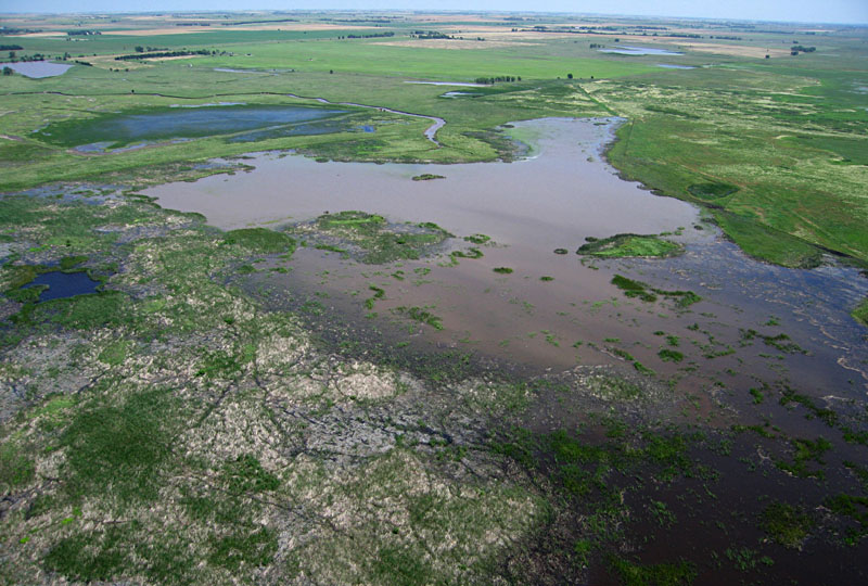
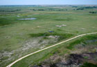
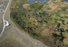
| Left: view to the southeast with the state wildlife area in the distance. Right: looking toward the southwest showing Blood Creek and TNC barn in the right background.
|  |
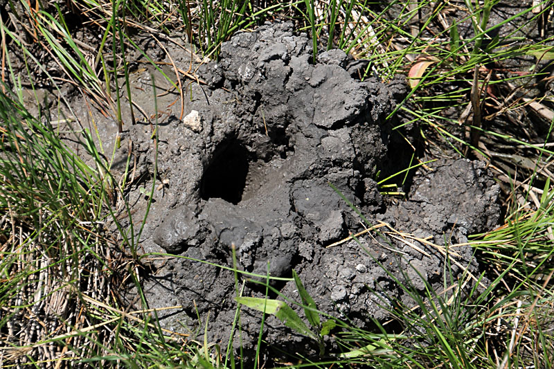
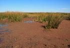
| Left: close-up shot of the main marsh and pool full of muddy water. Compare with April picture (above the eggs). Right: newly built crayfish chimney at pool margin. Little is known about the crayfish species or population.
| 
|
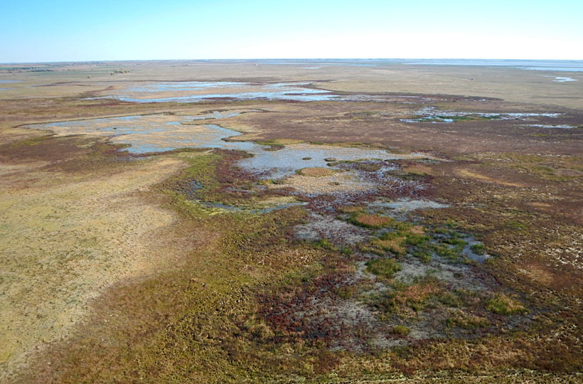
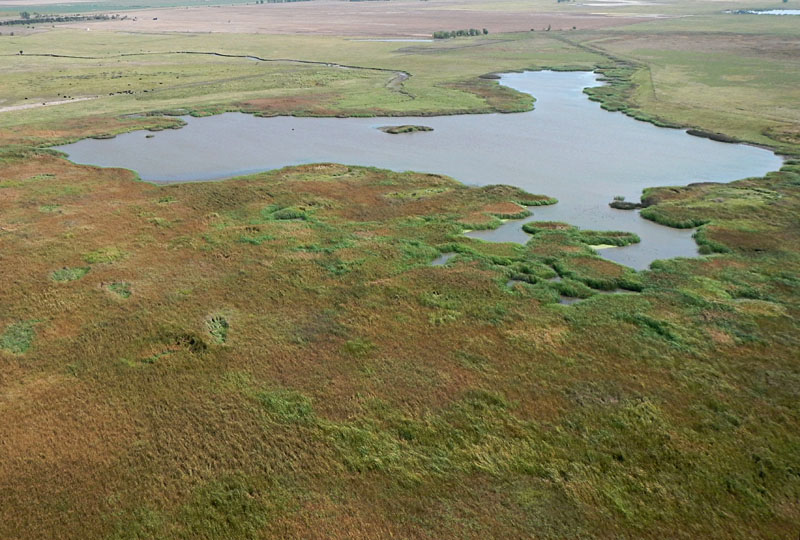
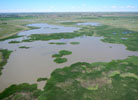
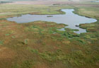
Continued rains lessened drought conditions across most of the region during the summer and early autumn. TNC marshes, pools, and streams were filled to capacity, wetland vegetation was thriving in marshes and wet meadows, and numerous waterfowl were resting on their fall migrations at the end of October.
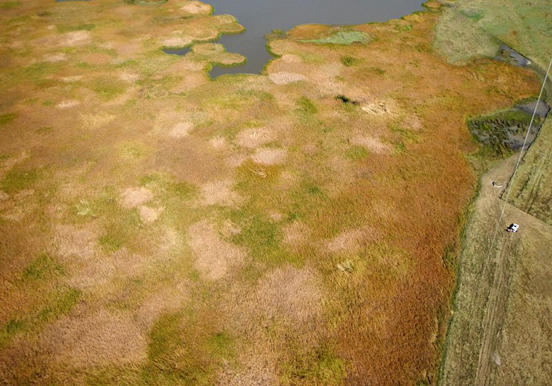
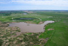
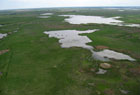
Late October status
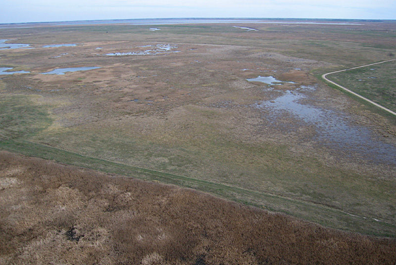
| Autumn foliage colors in the marsh complex. Left: looking toward the northeast with Deception Creek and its inlet to the pool and green fields of winter wheat in the background. Right: view eastward with the state wildlife area in the right far background.
| 
|
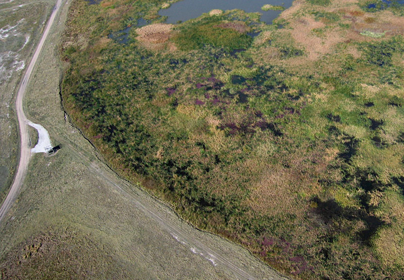
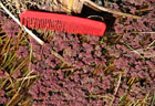
Mosquito fern (Azolla sp.) experienced a major bloom in the autumn of 2009. Since then, it had been nearly absent in the marsh complex during the drought period 2011-13. Once again, mosquito fern was evident on kite aerial photographs in shallow water along the pool margin and in small patches within protected cattail thickets. Its maroon-purple color adds a distinctive appearance to fall foliage in the marsh complex.
Mosquito fern bloom
| Close-up aerial shots of mosquito fern which appears maroon-purple color in these two views along the pool margin.
|  |
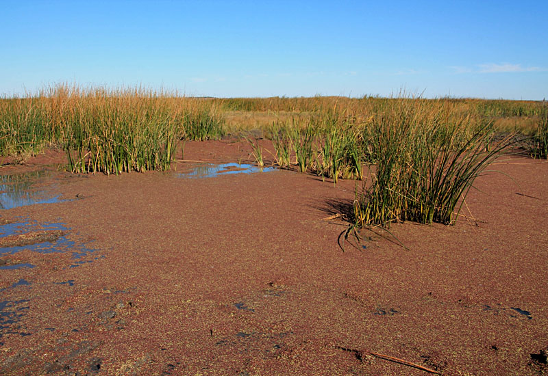
| Ground pictures of mosquito fern floating on shallow water protected by cattail and bulrush. Comb is 5 inches long.
| 
|
Return to beginning.
2015 Status
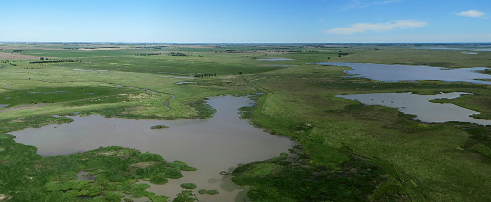
Repeated spring rains already had filled the marsh pools and emergent vegetation was well developed by the time of our first visit in mid-May. Access roads were extremely muddy with standing water in deep ruts and pools; we were lucky to reach the study site without getting stuck!
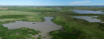
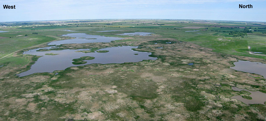
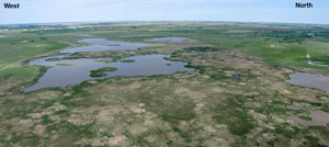
Panorama looking toward the northeast and east.
Deception Creek enters from left side.
During the past two years, drought conditions in central Kansas have diminished from extreme and exceptional categories. By the beginning of June 2015, in fact, drought was completely gone in the Cheyenne Bottoms vicinity. May of 2015 was exceptionally wet across the southern Great Plains and Rocky Mountain regions (see statewide precipitation). In fact, May 2015 was the wettest month for the whole United States since records began in 1895 (NOAA 2015). High water continued into June, and by the middle of the month lush emergent wetland vegetation had spread across much of the marsh complex.
Mid-May conditions
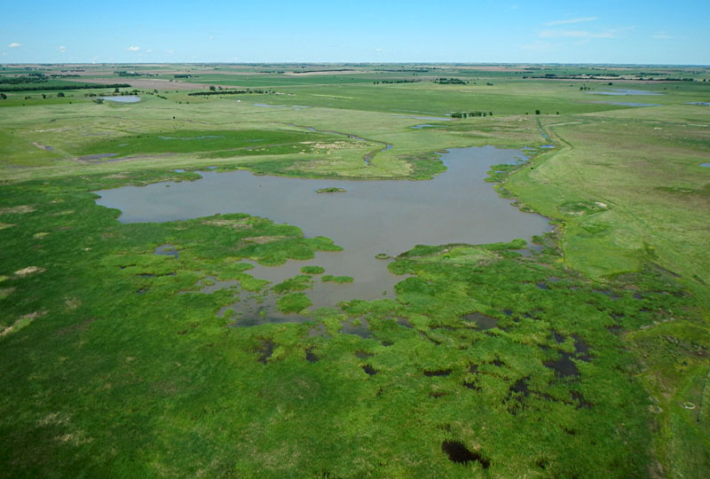
| Overviews toward the northeast (left) and northwest (right). Note high water level and lush vegetation in the marsh complex.
|  |
| Central portion of the marsh complex showing extensive cattail thickets. Cattail coverage has recovered to the level that existed at the beginning of our long-term observations in 2002.
|  |

| Left: close-up shot of the marsh margin with wet meadow and Blood Creek in the background. Right: ground view of marsh margin with muddy water from recent runoff.
|  |
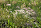
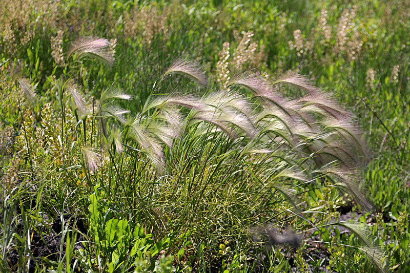
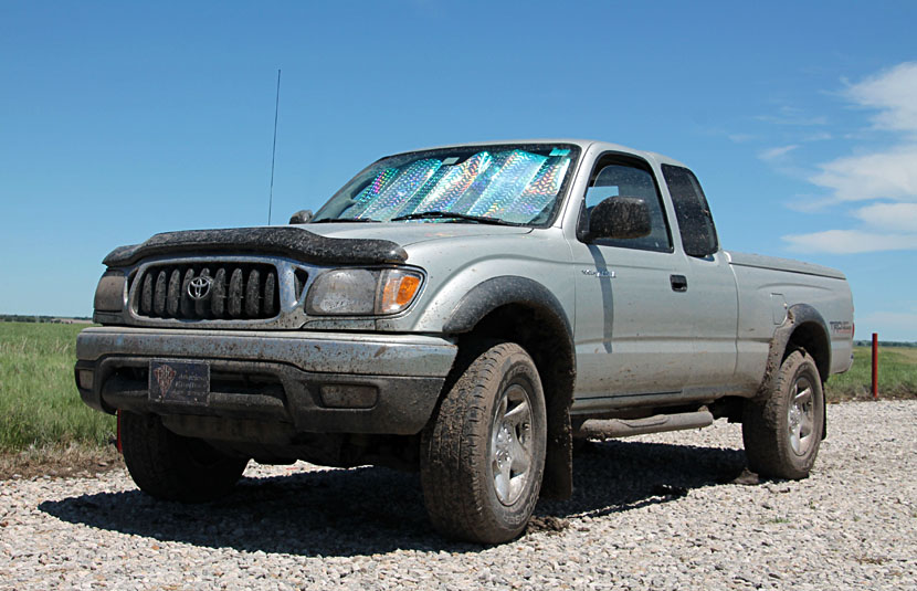
| Left: Foxtail barley (Hordeum jubatum) grows in clumps around the marsh margin and in the wet meadow. Right: muddy field vehicle. Access roads were barely passable to 4wd.
| 
|
Mid-June conditions
View to northwest
View northward
View to northeast
| | |
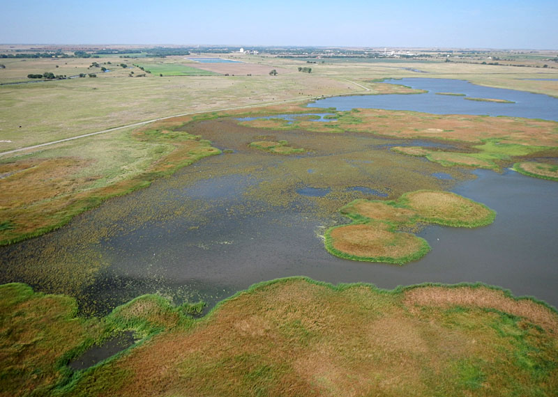
A return visit in early September revealed pools still full of water and distinct variations in late-summer emergent vegetation of the marsh complex. During the past two wet years, emergent wetland vegetation has recovered and spead over substantial portions of the marsh complex, and mosquito fern (Azolla sp.) has appeared again.
Early September conditions
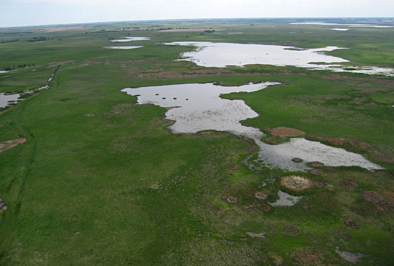
| Overviews looking toward the northwest (left) and northeast (right) showing full pools and varied appearance of emergent vegetation within the Nature Conservancy marsh complex.
|  |
| Close-up shots. Left: hint of maroon color on water surface suggests another bloom of mosquito fern is underway. White specks are large white birds wading in shallow water, and cattle graze in the background. Right: flock of large white birds, perhaps cattle egrets, taking off from a pool.
|  |
Return to beginning.
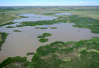
2016 Trends
The wet trend of 2015 continued through 2016 with frequent rain and high water level within the Nature Conservancy marsh complex. At the end of May, for example, there was no drought recorded anywhere in the state of Kansas. These wet conditions contributed to record harvests for corn and soybean crops (see AG Web).
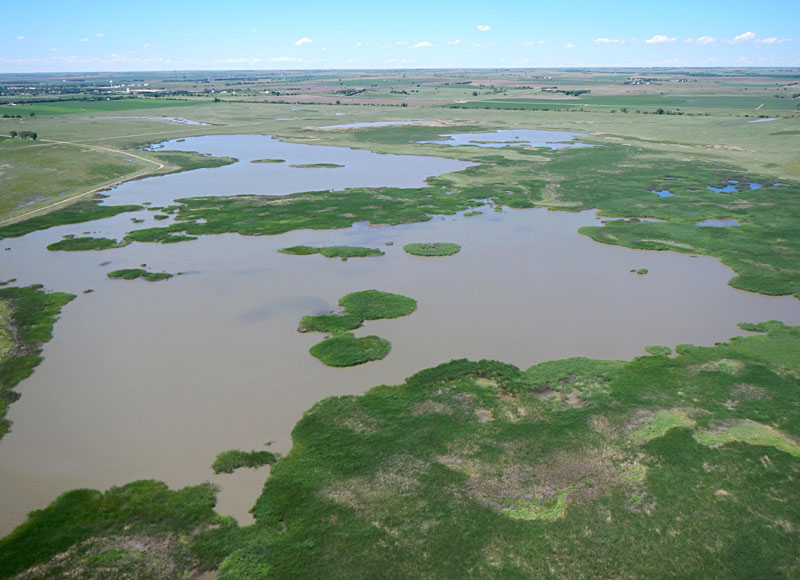
The expansion of cattail thickets that began in 2010 was briefly arrested during the drought of 2012-13, but since has renewed and filled in many portions of the Nature Conservancy marsh complex. This, in turn, has greatly reduced the area of open pools and mudflats on which migrating shorebirds and waterfowl depend.
May conditions
Panoramic overview looking toward the north and west.
Extensive thickets of emergent vegetation and full pools.
| |
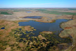
| Views toward the northeast (left) and east (right) demonstrate full pools, wet meadows, and emergent marsh vegetation. Water shows high content of suspended sediment from recent influx of Deception Creek.
| 
|
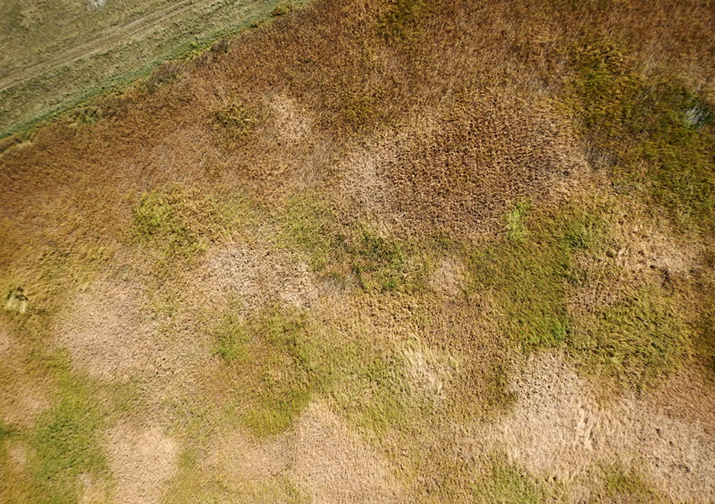
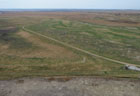
October conditions
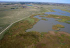
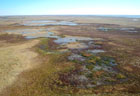
| Views toward the west (left) and northeast (right) display full pools and vegetation going into autumn senescence in early October.
| 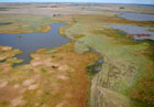 |
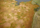
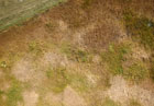
| Close-up oblique (left) and near-vertical (right) shots of the cattail thicket that has grown up during the past few years. A distinct patchy pattern is evident, which may reflect clonal growth as cattail filled in the former open pool.
| 
|
Cattails spread by growth of colonies from a starting point, and they expand outward via a network of rhizomes (shallow roots). This type of vegetative reproduction is known as clonal growth, and it results in circular patterns (Linde et al. 1976). In early stages of clonal growth individual colonies are clearly separated and distinct. As the colonies spread and gradually merge, they become less obvious. From a ground level, the clonal pattern is hardly visible, but from the aerial vantage the circular structure is quite evident, as in the images above.
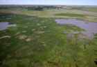
2017 Status
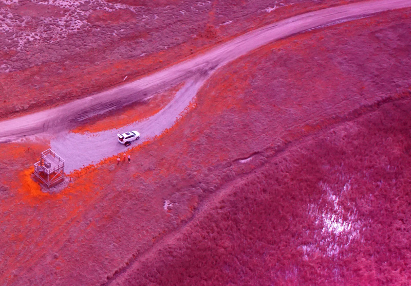
Early spring 2017 began with a series of heavy rains that completely filled the Nature Conservancy marsh-pool complex. This marks the fifth consecutive year of high water, and emergent vegetation has responded by infilling much of the former mudflats and reducing pool areas. We were assisted for this session by T. Nagasako, a visiting professor from Japan.
April conditions
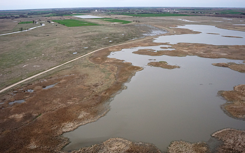
| Left: looking toward the northwest with Hoisington in the far background. Blood Creek enters from the left side. Right: view northward with mostly dormant marsh vegetation in the foreground. Pools are filled with muddy water from recent runoff.
|  |
| Left: looking toward the northeast. Deception Creek flows into the pool at top center of scene. Note the patchy appearance of dormant marsh vegetation. Right: view to the southeast with the state wildlife area in the distance.
|  |
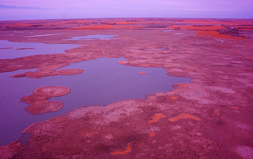
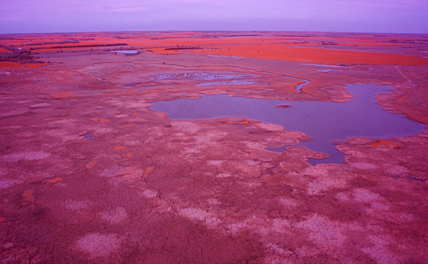
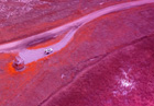
The primary reason for our visit was to test a new color-infrared camera and radio-controlled rig for kite aerial photography—see Sony Alpha 6000. The Sony A6000 was purchased with funding from the U.S. Department of Agriculture and modified by Arrow Consulting for blue/green/near-infrared imagery. In other words, the red band is replaced by near-infrared which appears red in the image. Active vegetation reflects green light moderately and near-infrared strongly. This combination produces orange in this false-color format—see color-IR imagery. In the early spring, emergent wetland vegetation is just starting to green up.
Color-infrared imagery
| Looking toward the northwest (left) and north (right). Fields of winter wheat are prominent (bright orange) in the background, but there are only small patches of active vegetation in the marsh complex. Compare with normal-color images above.
|  |
| View toward the northeast showing the small delta of Deception Creek (left). Emergent marsh vegetation has expanded considerably during the past several years and reduced the size of the remaining pool. Right: sun glint in lower right corner reveals shallow water beneath a cover of dead thatch.
|  |

 Return to beginning.
Continue to 2018 – 2020.
Return to Cheyenne Bottoms homepage.
All rights reserved © (2020).