Shallow marshes and mudflats are prime habitat for migrating shorebirds and waterfowl, so water supply and control are critical concerns for the refuge. Water inflow comes from Rattlesnake Creek, a saline stream that enters Little Salt Marsh from the southwest and exits the refuge to the northeast. Twenty-one miles (34 km) of canals along with many levees and other drainage-control structures are used to divert, store, and distribute water throughout the refuge. The salt is derived from subsurface bedrock that contains salt layers. Ground water dissolves the salt and transports it toward the surface, where it emerges in saline springs and streams. As the water moves through the marshes, evaporation leads to increased salinity of seawater character.
We first visited Little Salt Marsh at Quivira NWR in early May 2003. On a brisk southwesterly breeze, an 11-foot delta kite was flown on the high-wind bridle attachment for mid-morning pictures under sunny sky. We employed both film and digital cameras. More recently, we returned to Quivira NWR to conduct KAP at Big Salt Marsh in late May 2006. Sky was partly overcast, and a light northeasterly breeze was blowing. We used a large rokkaku kite to lift digital cameras.
| View toward the southwest over Little Salt Marsh. Kite flyers are standing by the road intersection in lower left corner of scene. |
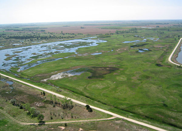
| View toward the southeast, immediately east of Little Salt Marsh. Wet meadows have a lush green color following spring burning in this portion of the refuge. |
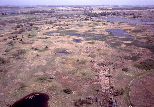
| Northward view over a mosaic of pools, potholes and hummocks of the wetland complex. Notice the dark pool in lower left corner (see next image). |
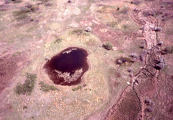
| Closeup view of dark pool with surrounding zones of distinctive vegetation. |
| View southward showing part of the wildlife observation road (right side) that loops through this portion of refuge. |
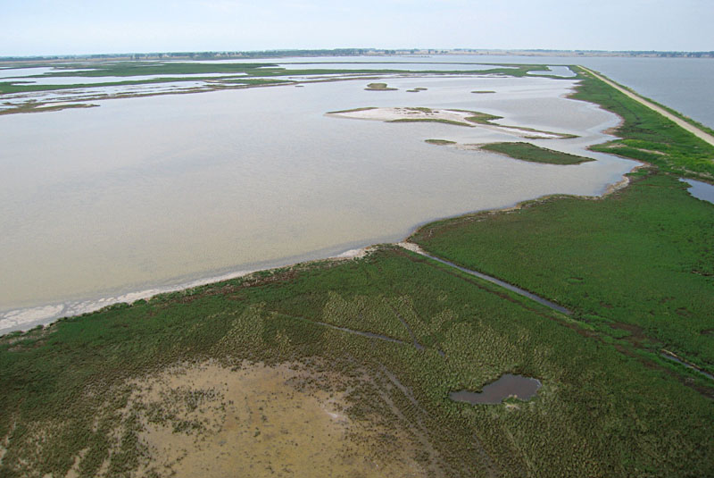
| View toward the northeast. Note large variations in vegetation cover, soil color, and water bodies. Salty crust covers the ground in lower left corner. Also notice an oil well in upper left portion of scene. |
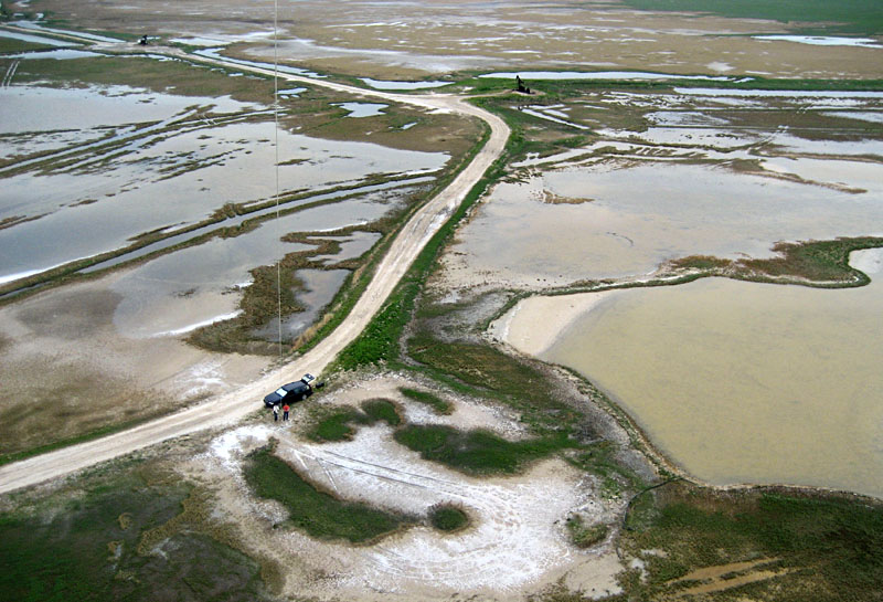
| Closeup view of kite flyers. This portion of Big Salt Marsh is heavily impacted by human activities as shown by the road, oil wells, and numerous ditches and tracks across the scene. |
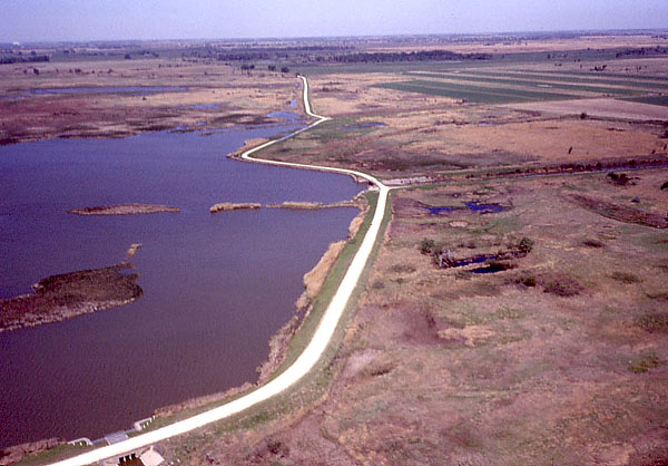
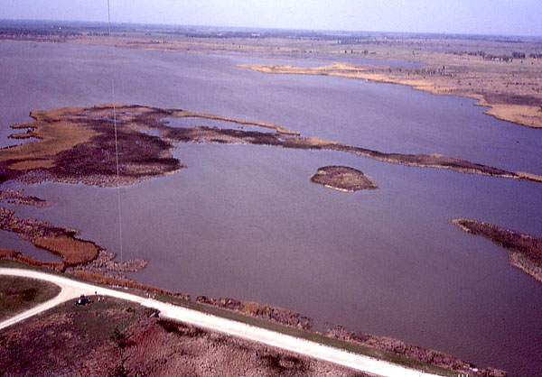
| View toward the northwest showing the levee and water control structures on the northern side of Little Salt Marsh. Outflow of Rattlesnake Creek is to upper right. | 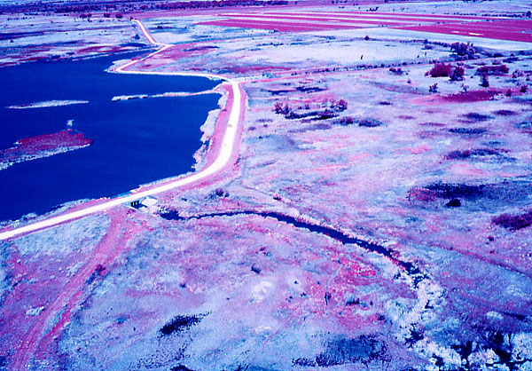 |
| View northward over network of pools, hollows, and hummocks that are highlighted by variations in vegetation cover. Note dark pool on left side. | 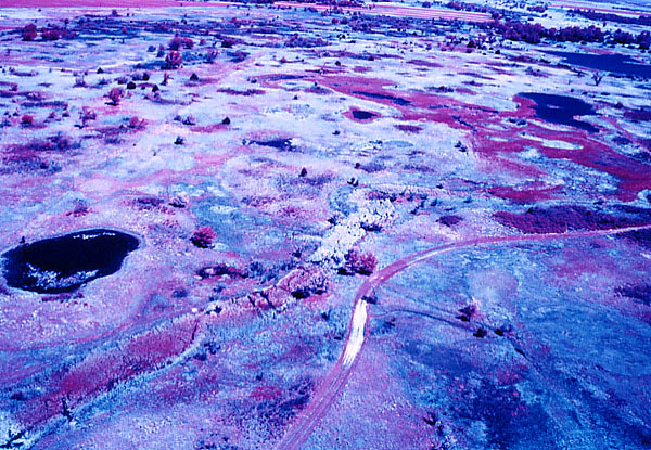
|
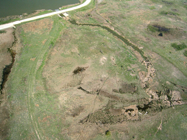
| Drainage control structure and outflow channel on northeastern side of Little Salt Marsh. | 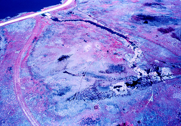
|

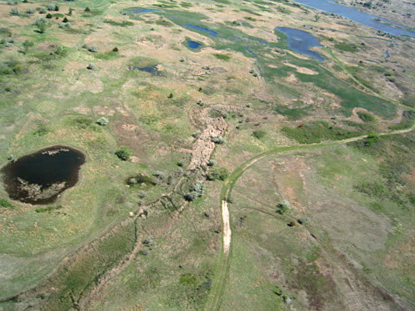
| View toward the northeast over a large, meandering, water-filled slough. | 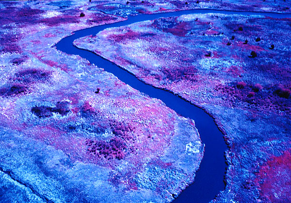
|
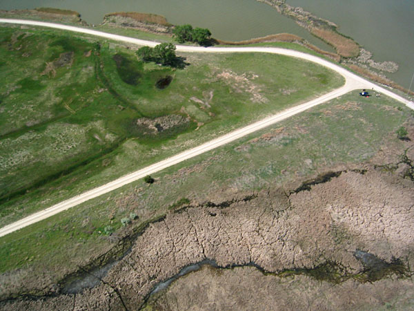
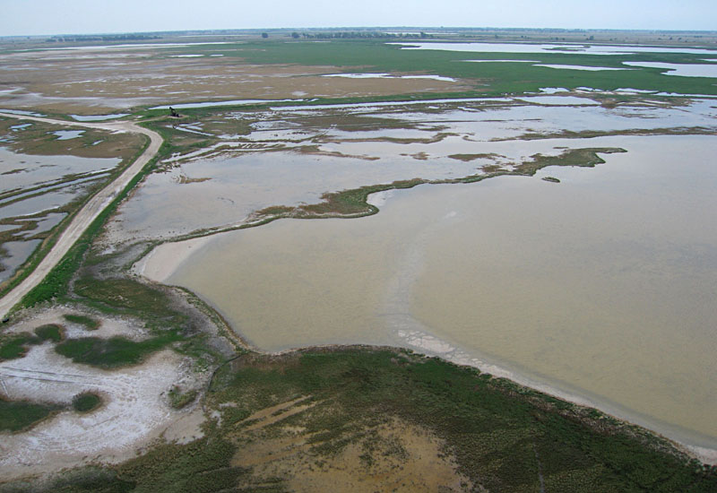
| Road intersection on northeastern edge of Little Salt Marsh. Notice large differences in appearances of various types of active and inactive vegetation in this scene. | 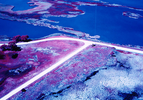
|