New England Coastal Marshes
Maine and Massachusetts
James S. and Susan W. Aber
Vinton Valentine
James S. and Susan W. Aber
Vinton Valentine
 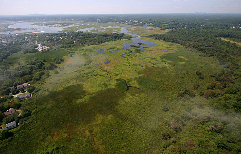   |
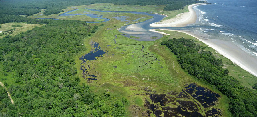
| Looking south toward Drakes Island, the forested area in middle distance, which is surrounded by marsh and beach. Island Beach Road appears on left side, and the boat channel to the Wells marina can be seen in the background. |
| View toward the southwest shows a bridge on Drakes Island Road in center background. The bridge is part of a water control structure that limits tidal flow between the lagoon in the background and marsh in the foreground. |
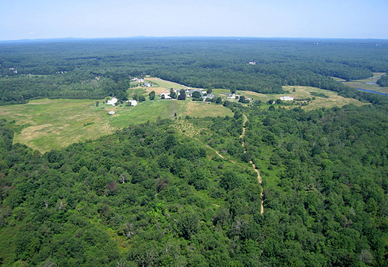
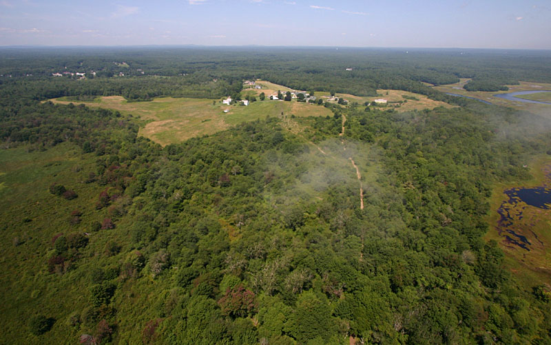
| Buildings of historic Laudholm farm and Wells Reserve headquarters are visible in the cleared area in this view westward. The path in lower part of scene is Old Farm Lane, from which the blimp was launched. |
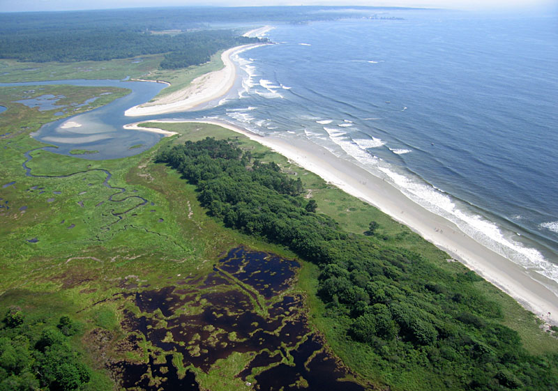
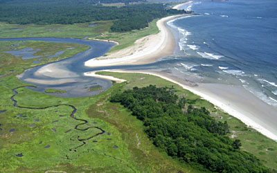
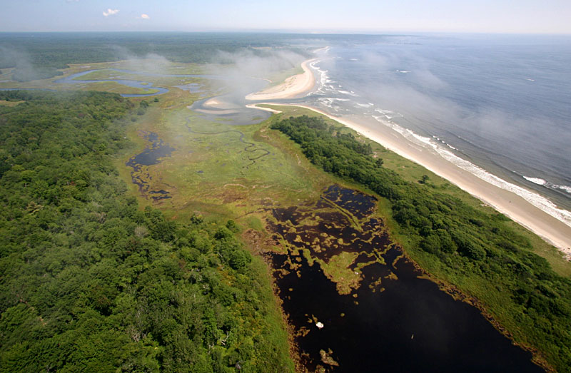
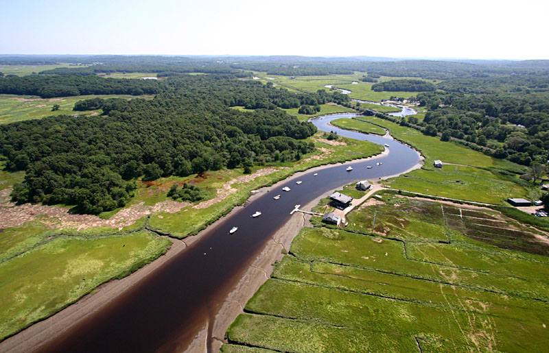
| Mouth of Little River on the Atlantic shore. In recent years, sediment has eroded from the near side and built up on the far side of the river mouth--note differences in widths of beaches. Kennebunk in the background. |
| Closeup view of Little River mouth. Notice numerous meanderings of the main channel and several smaller channels in the marsh area on left, which is a bird santuary. |
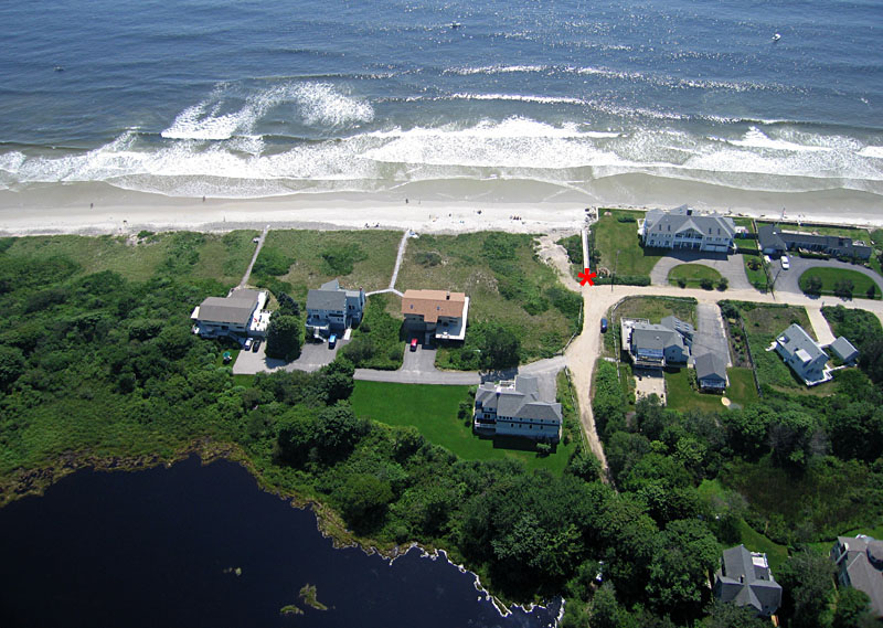
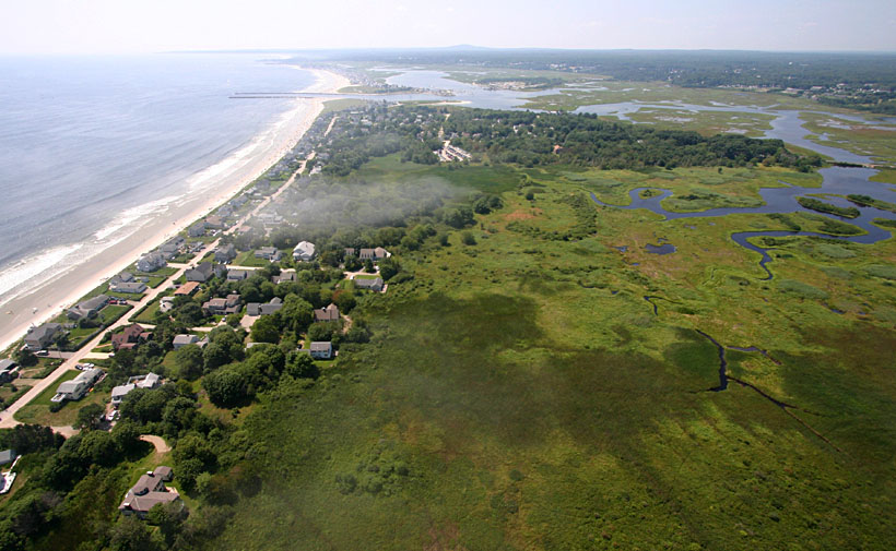
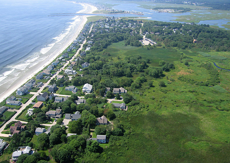
| Expensive summer homes along the Atlantic shore at the northern end of Island Beach Road. Public access to Laudholm beach is provided by a footpath marked by red asterisk. |
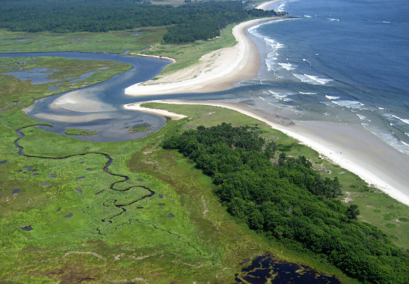
 Panoramic view northward showing Little River and Laudholm beach along with marsh and woodland habitats. Assembled from two Canon Elph images. | |
  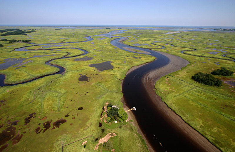   |
| Looking eastward with the meandering Rowley River at scene center. Plum Island is barely visible on the far horizon. The brown cover at lower right is wrack, dead plant debris washed in during storms. |
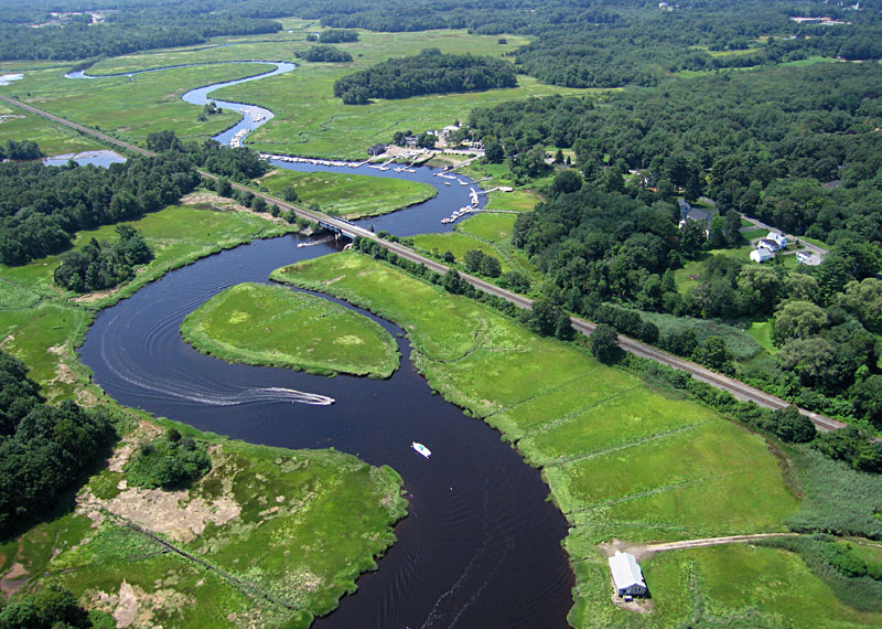
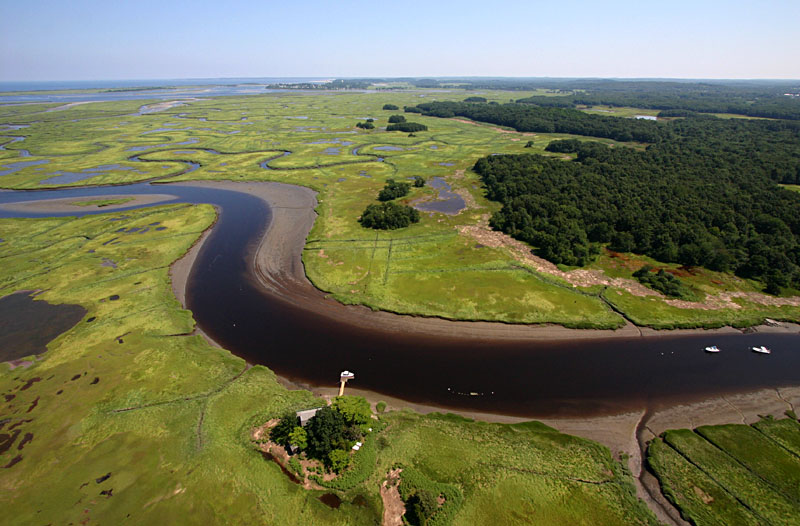
| Southwest view inland along the Rowley River toward the marina beyond Oyster Point Road bridge. More wrack is visible in lower left corner of scene. |
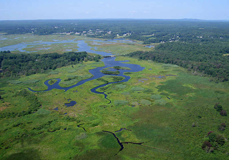
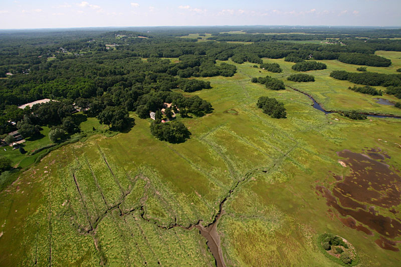
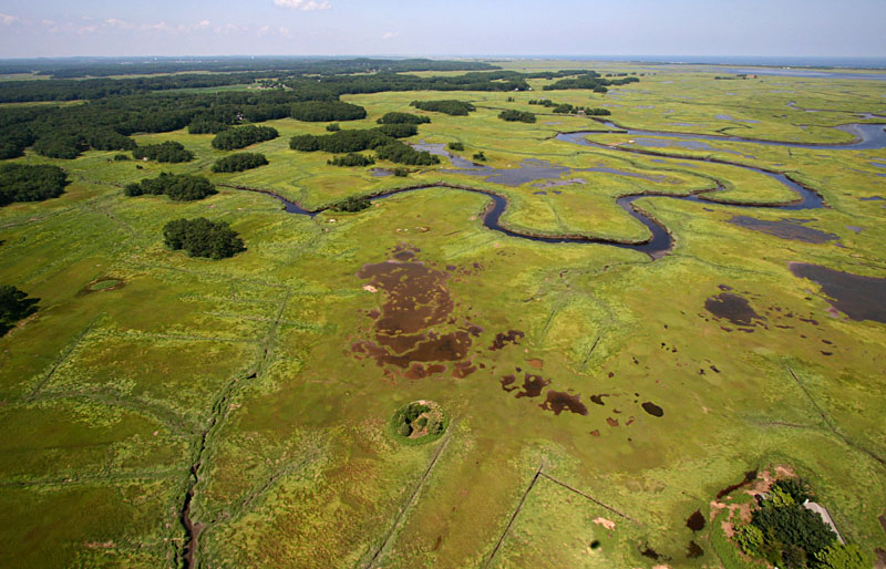
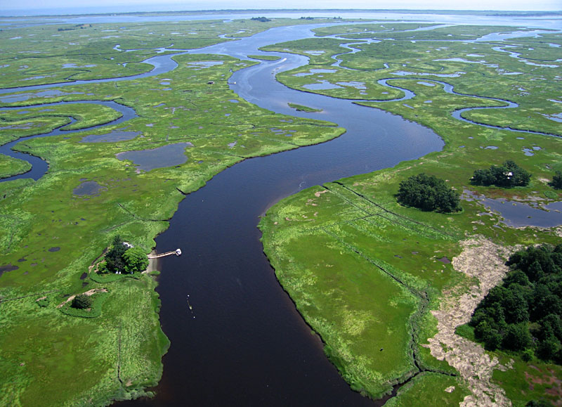
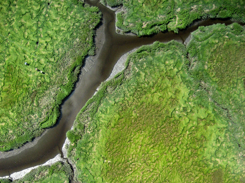
| View northward showing marsh, pools, and complexly meandering tributaries of Rowley River. Main river channel in lower right corner of scene. |
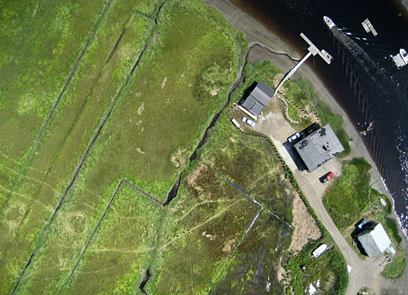
| Vertical shot of the Marine Biological Laboratory--middle of three buildings on right side, next to Rowley River. Note network of linear ditches on left side of view. |
| Closeup vertical view of high marsh surface and tidal channels. The wavy pattern of salt hay vegetation, known as "cow lick," consists mainly of Spartina patens and Distichlis spicata. Note the authors standing on left side. |
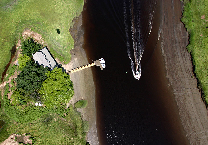
| Vertical view of high-speed boat wake and dock for private residence. Tide is low revealing mud banks on sides of Rowley River channel. Shadow of blimp appears in upper left corner of scene. |