| contiguous United States
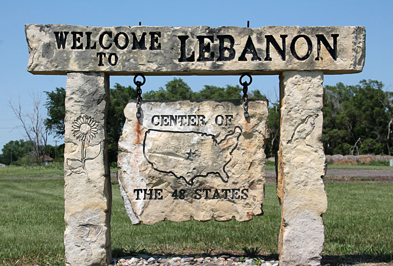
Lebanon, Kansas |
|
| contiguous United States
Lebanon, Kansas |
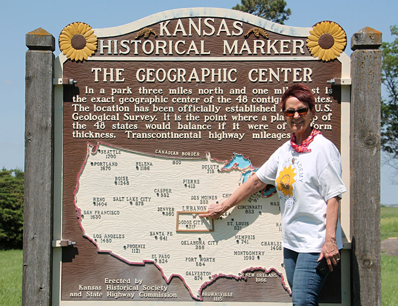
| Historical marker on US 36/281 highways, one mile south of Lebanon, Kansas. Left – SWA points to the center. Right – detail of the map showing the outline of Kansas, Lebanon (red star), and highway mileages to selected cities. | 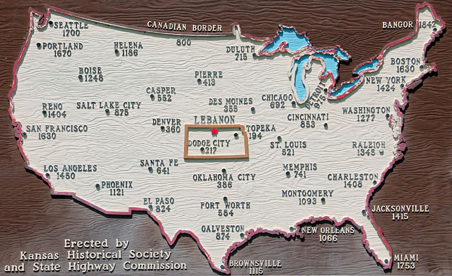
|
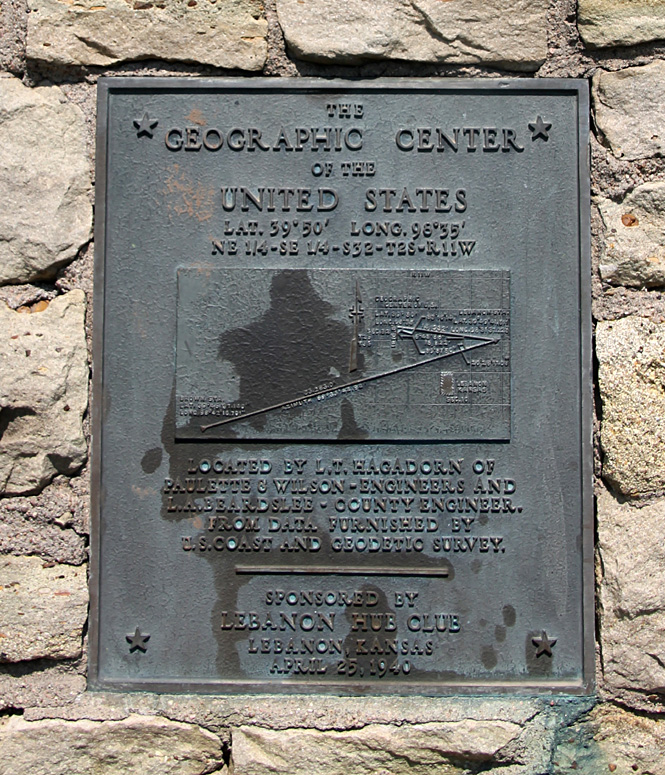
| Plaque on the monument for the geographic center of the contiguous U.S. Located in the public park at K-191 and Smith County AA Road. |
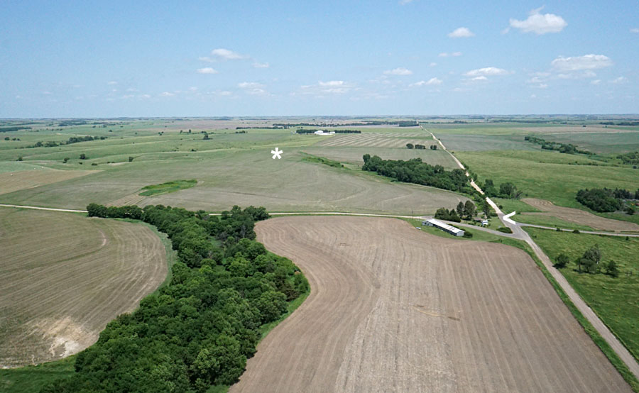
| Left: official center of the contiguous United States (*) is located in a field on private cropland. The public park (<) is a small triangle at the junction of K-191 highway and Smith County AA Road. View toward the north. Right: closer view of the public park (<) and access roads. | 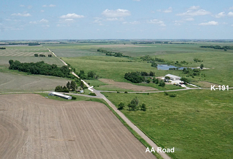 | |||
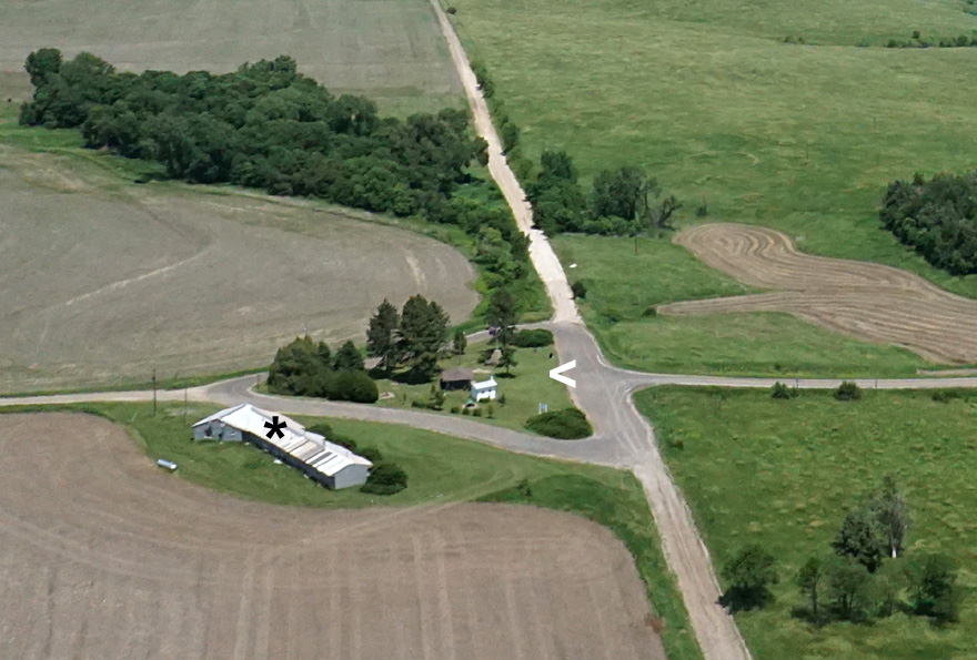
| Left: closest view of the public park (<). The long building (*) is an abandoned motel. Right: looking eastward with Lebanon visible in the right distance. Summer crops are just beginning to emerge in the tilled fields. | 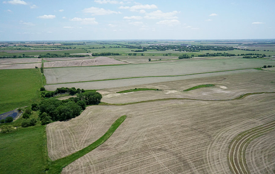 |
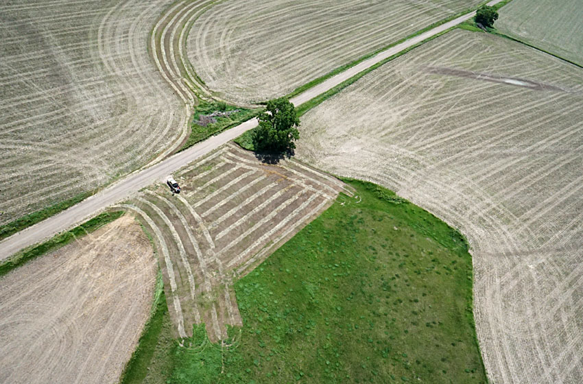
| Kite flyers operating beside AA Road. The bold stripes represent newly mown hay that is drying in the field before baling. | 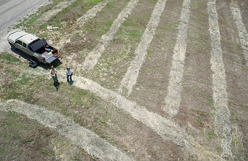 |

![]() Return to airphoto gallery
or Great Plains airphoto homepage.
Return to airphoto gallery
or Great Plains airphoto homepage.
All text and images © by the authors (2021).