
| Wildlife Area, Kansas
J.S. and S.W. Aber |
|
| Wildlife Area, Kansas
J.S. and S.W. Aber |

| Many such dams and lakes were constructed across Kansas during the Great Depression by the Civilian Conservation Corps as work projects. Stone sign in the wall on the dam near the outlet tower. |
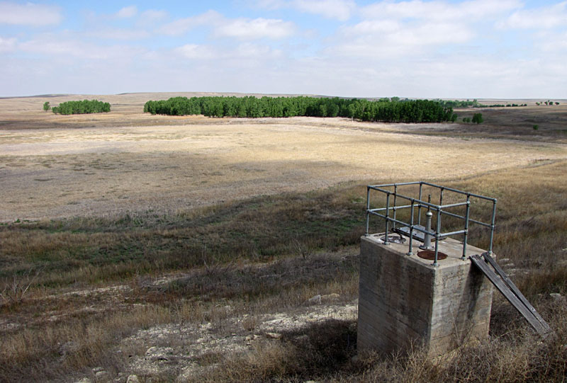
| Ground views from the dam and outlet tower looking toward the lake basin. Completely dry (left), which is typical most years. A grove of mature trees occupies the valley bottom. Water pool (right) submerges the trees, a rare sight in 2015. | 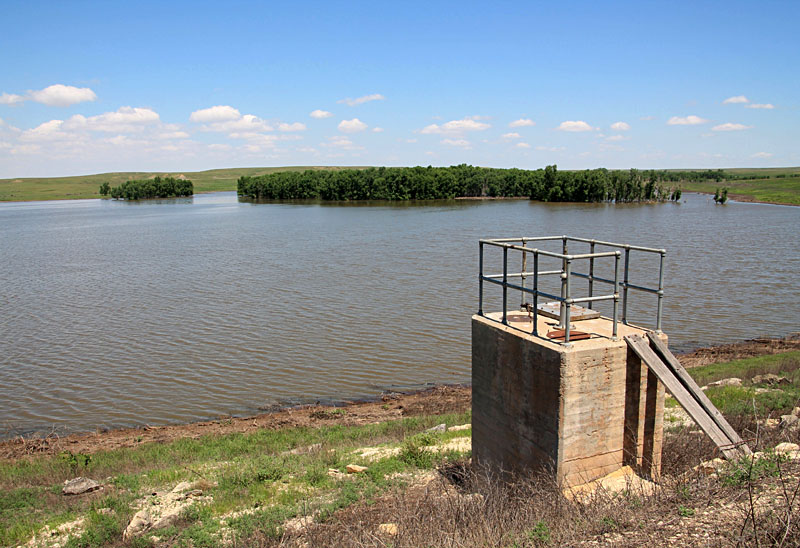 |
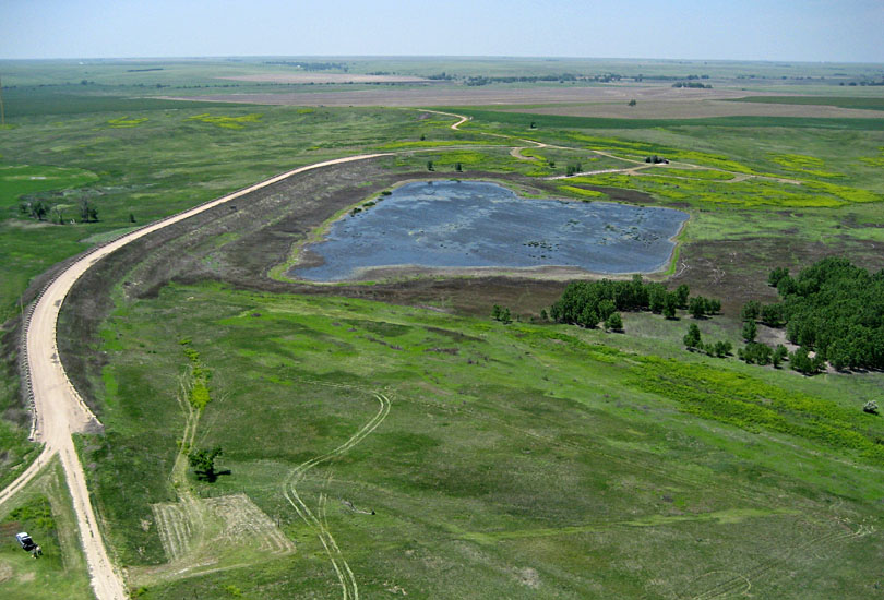
During the past few years, drought conditions in central and western Kansas have diminished from extreme and exceptional categories. By late June 2015, drought was completely gone in the Finney vicinity (see drought monitor), when we again conducted KAP. At that time, the lake covered an estimated 50-60 acres (Finney 2016). The wet conditions of 2015 continued in 2016 (see drought monitor). We returned in the early fall of 2016 with students from Emporia State University, and we found considerable water still present behind the dam.
| Overviews of the dam with a small puddle of water behind the dam. Lush green prairie surrounds the lake, and trees stand on dry land in the valley bottom (right). Kite flyers in lower left corner (left). | 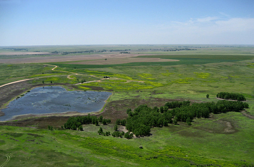 |

| Overview of the dam and lake (left) and upstream portion of lake (right). Note submerged grove of trees in the middle of lake; some of these trees died from prolonged submergence. | 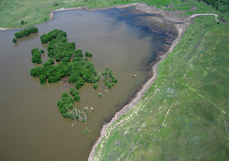 |
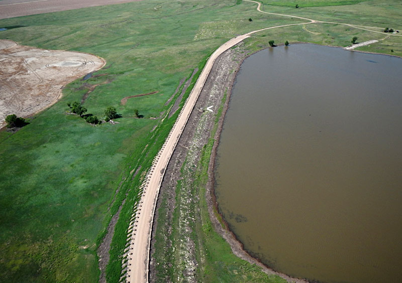
| Left: dam and outlet tower (<) with the boat ramp visible at upper right. Left: vertical shot over the dam. The dark spot (<) is the kite shadow, and light spot (>) is the so-called hot spot, where the camera and sun are in direct alignment. | 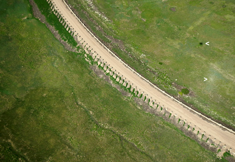 |
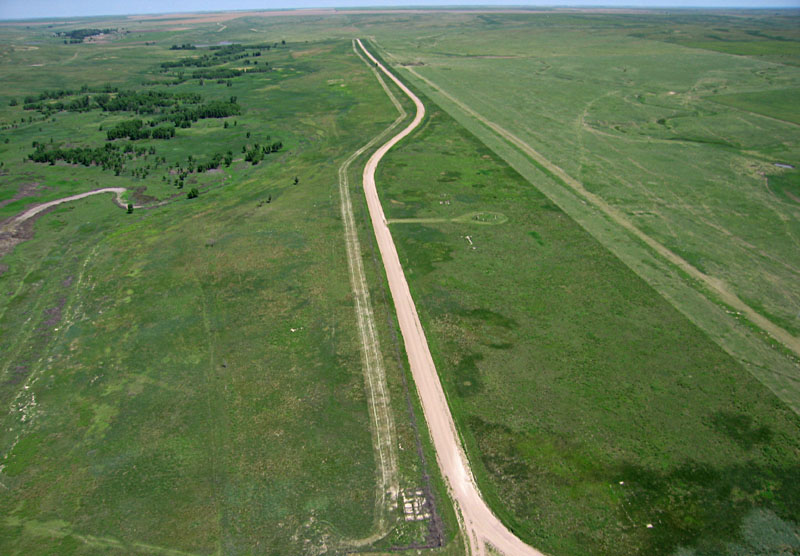
| Left: looking straight northward. The tree-lined channel to left is the main tributary for the lake. Right: view toward northeast showing typical farm land and a small pond. | 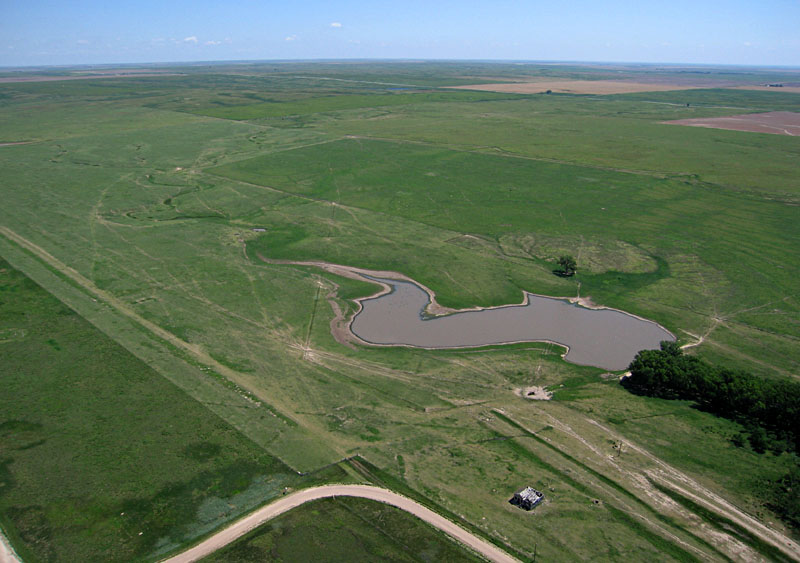 |
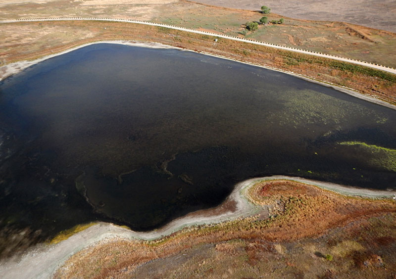
| Overview of the lake and dam (left), and a closer shot of the southwestern end of the lake showing the boat ramp. An algal bloom is visible on the lake surface, and shore vegetation displays distinctive fall colors. | 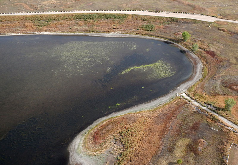 |
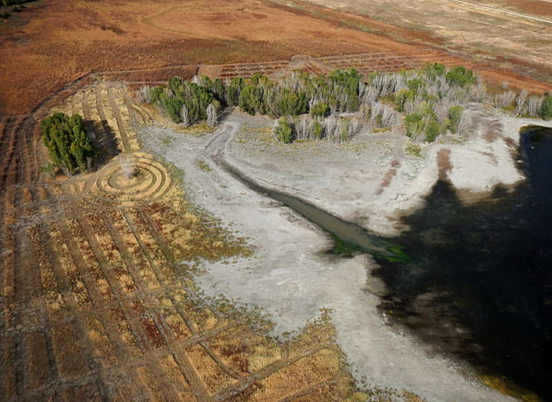
| Looking upstream (left) with extensive mud flat exposed by evaporating water. Note distinctive mowing patterns. Close-up shot (right) of the mud flat showing dead trees and algae in the water. | 
|
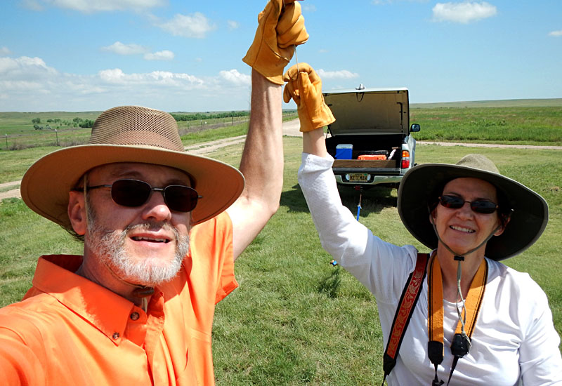
| The authors (JSA & SWA) test a camera rig prior to flight. |
![]() Return to airphoto gallery
or Great Plains airphoto homepage.
Return to airphoto gallery
or Great Plains airphoto homepage.
All text and images © by the authors (2016).