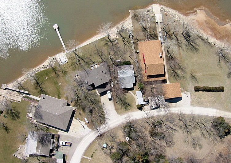
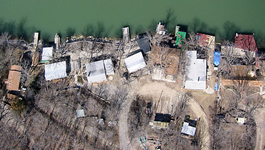
The time of year was chosen to minimize tree canopy (leaf) cover that might obscure some structures. However, long shadows are conspicuous. Lake water level was approximately 2˝ feet below normal. This is done to protect shore structures from ice damage. All photographs were acquired with a Canon digital Elph. The following examples depict selected portions of the lake.

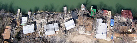
| Cabin lots 20 through 36. | 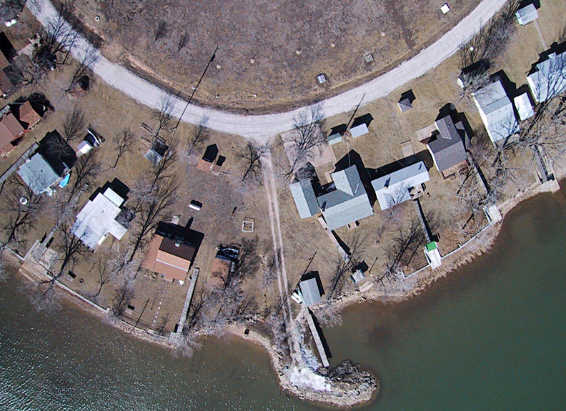
| Cabin lots 50 through 68. |
| Cabin lots 114 through 128. | 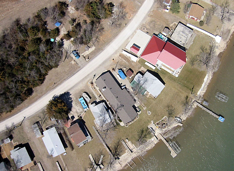
| Cabin lots 134 through 150. |
| Cabin lots 154 through 162. | 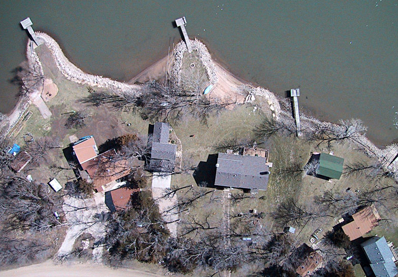
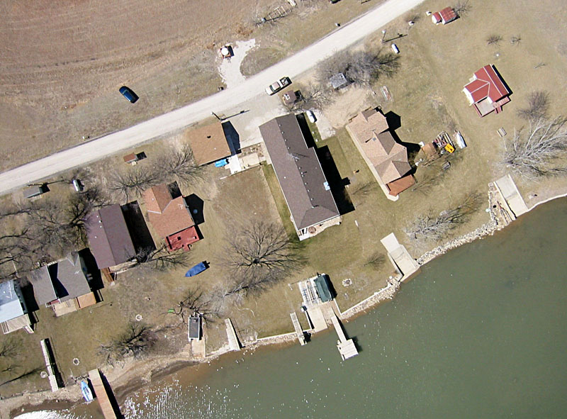
| Cabin lots 86 through 104. |
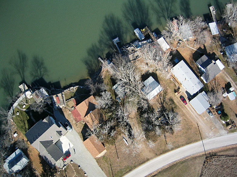
| Cabin lots 5 through 17. | 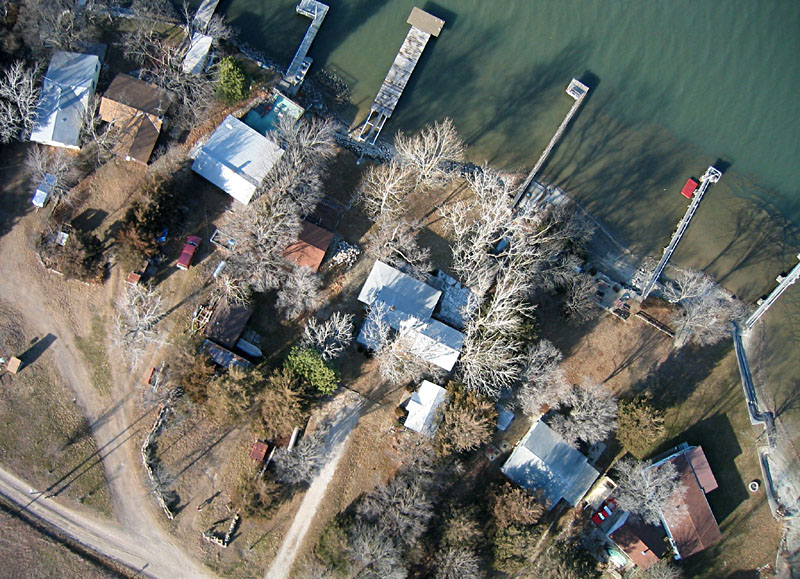
| Cabin lots 67A through 79. |
| Cabin lots 107 through 119. | 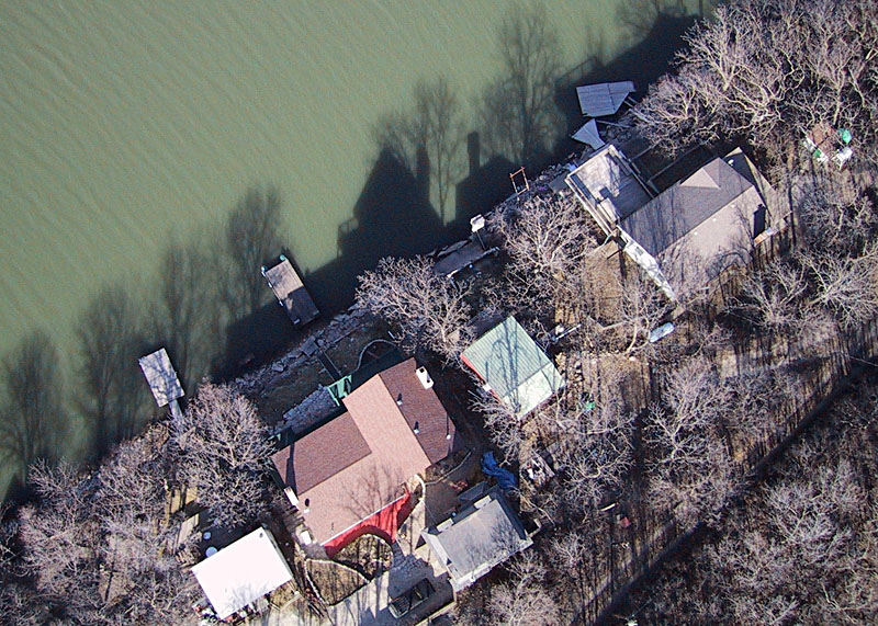
| Cabin lots 175 through 181. Note distinctive shadows. |
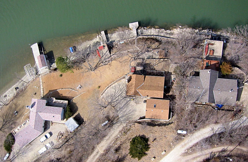
| Cabin lots 121 through 127. | 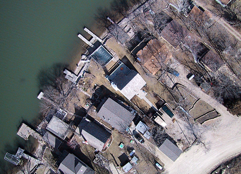
| Cabin lots 139 through 151 plus 157. |
Return to Kahola Lake KAP.
All images © by the authors (2004).