| Space-Age Atlas Missouri River |
|
| Space-Age Atlas Missouri River |
| Introduction | Missouri River |
| Remote sensing | Historical background |
| Geology of K.C. region | Kansas City, KS/MO |
| Keelboat at Kaw Point, KS | Ft. Leavenworth, KS |
| Atchison, KS | Squaw Creek NWR, MO |
| Knife River NHS, ND | Atlas references |
| L&C web sources | Atlas editors |
| Much of their travel was via water in a keelboat, piroques, and canoes. Wild rivers were filled with sand bars, boulders, uprooted trees, rapids and cascades. Crossing the Rocky Mountains was accomplished on horseback and foot. Over thousands of miles of travel and three years en route, only one man died (of appendicitis). The expedition came back with an invaluable collection of observations and specimens. The success of this venture demonstrates the careful planning and management provided by Lewis and Clark. |
Soon after Lewis and Clark's successful return, new modes of transportation and communication forever changed the American landscape and culture. Steam-powered riverboats and railroads began the revolution in rapid transport of heavy goods, followed by the telegraph, which provided near instantaneous communication across the continent. Further developments in transportation and communication have continued through the 19th and 20th centuries, until now we have an integrated digital communication network--Internet.
The purpose of this atlas is to portray, through striking visual images and brief explanations, the modern environments of the Missouri region through which the Corps of Discovery passed. The words of Lewis and Clark, as taken from their journals, are utilized; there is no better way to experience the landscapes and cultures they encountered during their epic journey. In addition, selected paintings by George Catlin are included to depict scenes visited by Lewis and Clark--see Catlin.
This atlas is not intended as a historical review of the Lewis and Clark expedition, nor is it a tour guide to the journey route. For good historical reviews, Ronda (1984), Ambrose (1996), Ambrose and Abell (1998), and Montgomery (2000) are recommended. The guidebooks by Fanselow (1994) and Fifer et al. (1998) are valuable aids for those who wish to travel any part of the route.
© Notice: These webpages are presented for public enjoyment and educational purposes. Any other use or repackaging of materials in the atlas webpages is prohibited without permission. Primary financial support came from the Kansas NASA EPSCoR rural resources project and the Kansas Space Grant Consortium. Additional support was provided by the William T. Kemper Foundation - Commerce Bank, Trustee - Kansas City, Missouri. For further information, contact J.S. Aber (aberjim99@netscape.net).![]() Atlas Editors
Atlas Editors ![]()

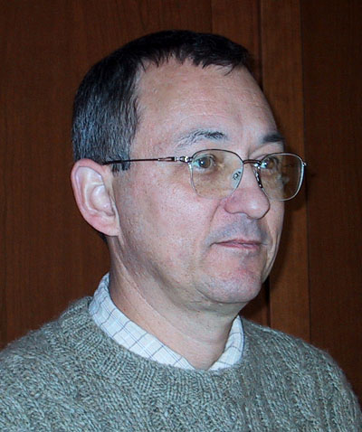
James S. Aber,
Emporia State University
Matt Nowak,
Fort Leavenworth![]() Lewis and Clark Atlas Partner
Lewis and Clark Atlas Partner