| Bicentennial Space-Age Atlas |
|
| Bicentennial Space-Age Atlas |
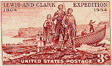
The latest space-age techniques allow mapping and visualization of the Earth's surface in ways the were merely science fiction only a few decades ago. From vantage points a few 100 feet above the ground to 100s of miles in space, we can now look down upon the Earth by means of remote sensing. The purpose of this atlas is to portray, through striking visual images and brief explanations, the modern environments of the lower Missouri River along which the Corps of Discovery passed.
![]()
© Notice: These webpages are presented for public enjoyment and educational purposes.
All text and imagery copyrighted by geospectra.net.