| J.S. and S.W. Aber |
|
| J.S. and S.W. Aber |
The kite flying conditions were nearly optimum--high temperature ~70°F, clear blue sky, and southerly wind ~15 mph. For the late-morning shots on campus, we used a large rokkaku kite and the Canon S70 and Rebel cameras. In the afternoon wind became a bit stronger. At Galloway trail park we utilized a Sutton Flowform 16 kite to lift our Canon SD600 (elph) camera rig under slightly gusty conditions.
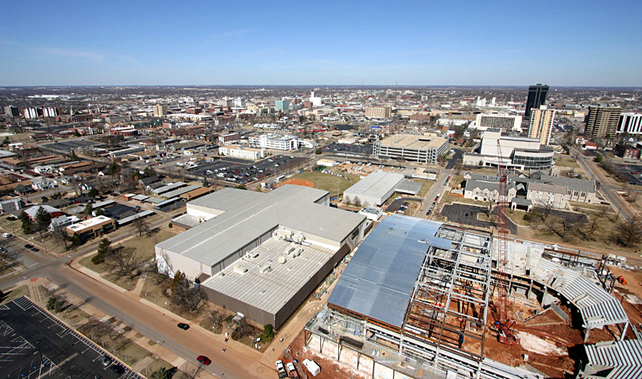
| Superwide-angle view toward northwest. New basketball arena under construction in right foreground. Downtown Springfield in left background. |
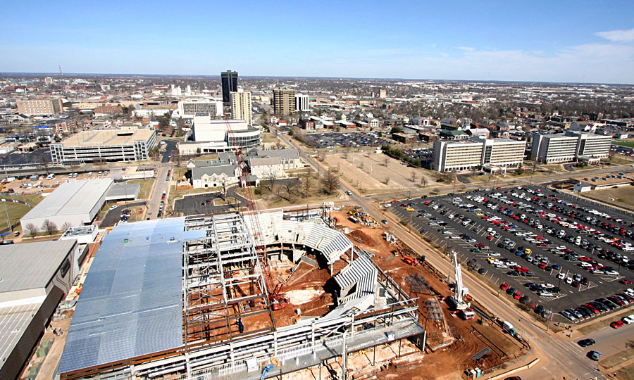
| Superwide-angle view toward northeast. New basketball arena under construction in left foreground. Student dormatories and parking lots in right background. |
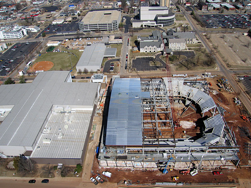
| Closer view of athletic complex; note baseball game in progress in left background. |
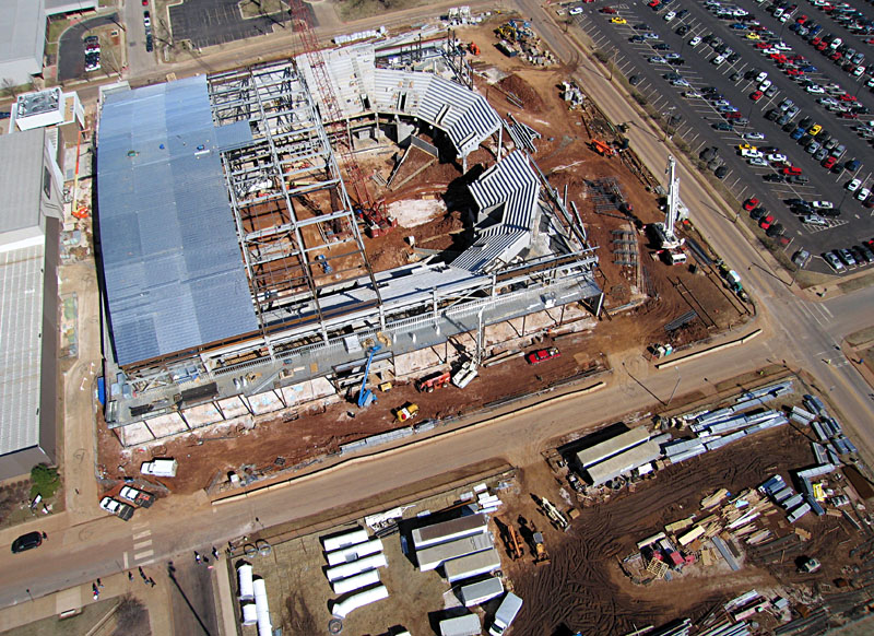
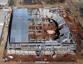
| Closeup view of new basketball arena and construction compound; note large crane positioned at center of the arena construction site. |
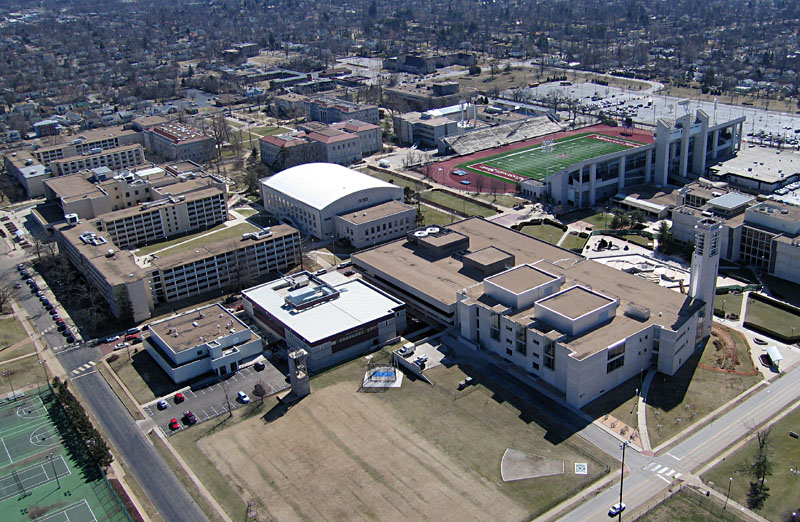
| View toward the southeast over the central portion of the campus. The football stadium can be seen in upper right corner. |
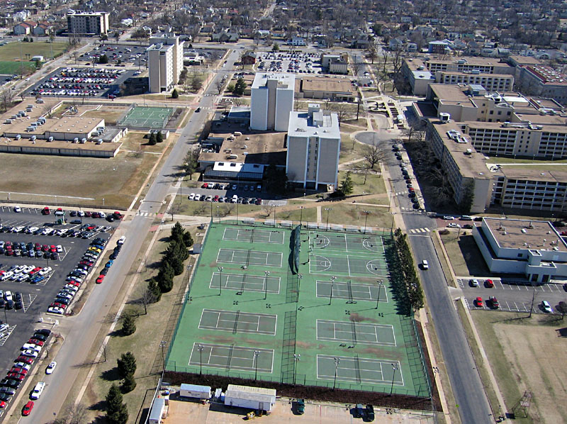
| Shot directly toward the east showing tennis courts and several campus buildings. |
| View southward showing the kite flyers and spectators in a practice athletic field (left). Launching the kite was a bit difficult because of wind turbulence around the buildings, but once the kite rose above buildings the wind was steady from the SSE. Note shadows of satellite dishes (right). |

| Overview toward the southeast. A railroad line, suburban housing, and small lakes can be seen through the leafless trees. |
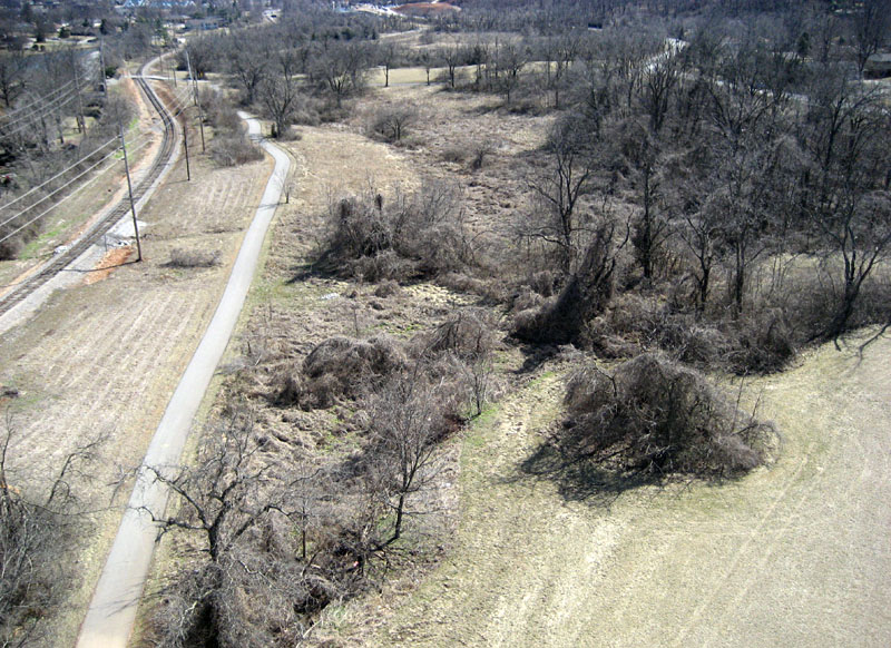
| Closer view toward the south. The walking/bicycle trail follows the railroad on the left. To right, sinkholes and a disappearning stream are hidden beneath heavy tree cover. |
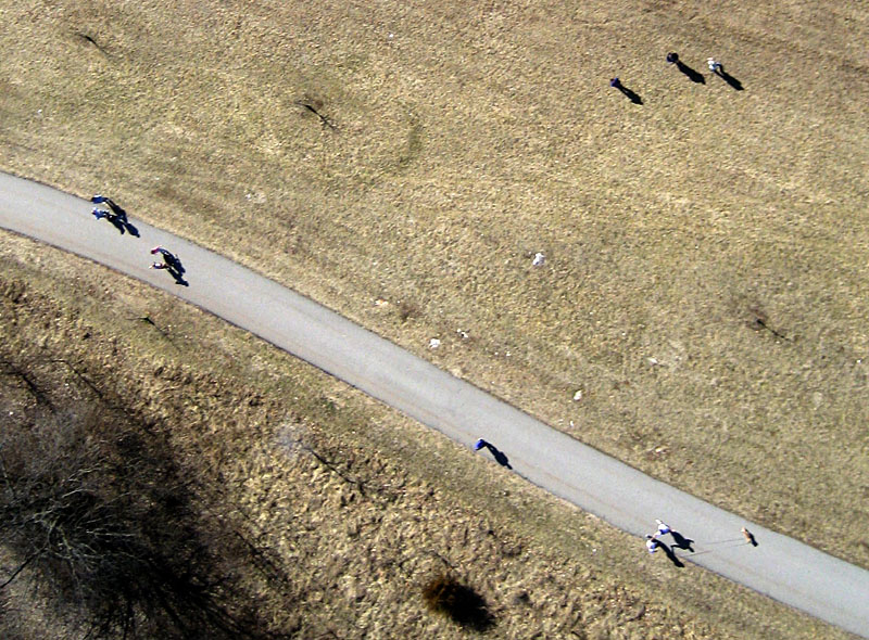
| Vertical shot of people and a dog on the walking trail. |
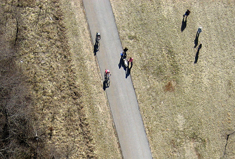
| Shadows of bicycle riders, pedestrians, and a dog on the walking trail. |
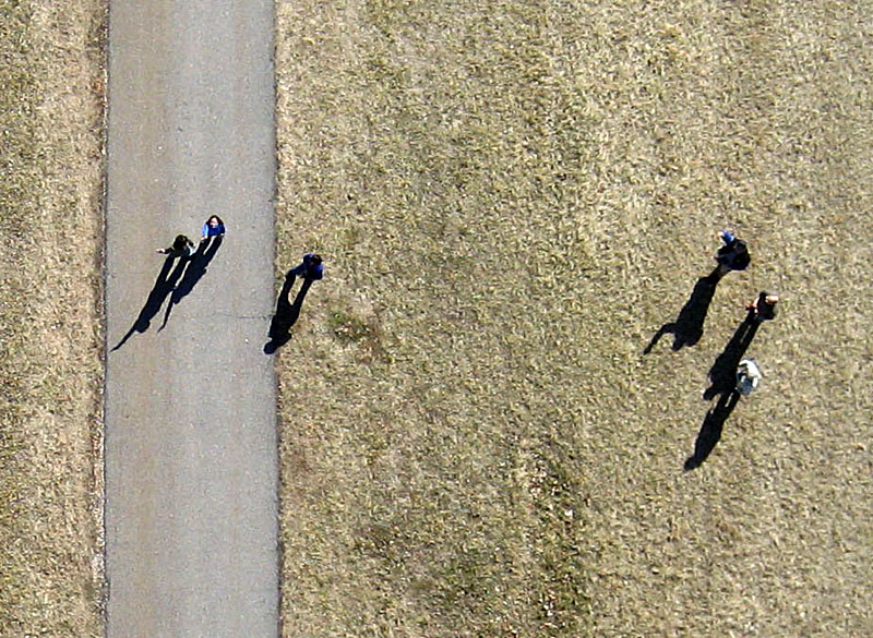
| Closeup vertical shot of people making interesting shadows. |