 J.S. and S.W. Aber |
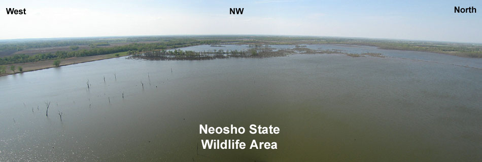
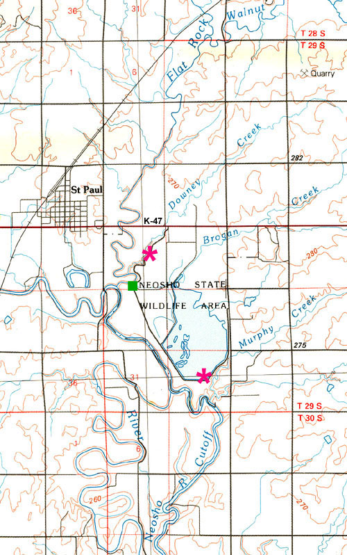
Our first KAP venture for 2010 was in April to the Neosho Wildlife Area near St. Paul in southeastern Kansas. This site is operated by the Kansas Department of Wildlife and Parks primarily for waterfowl habitat. During our visit we observed many cormorants, coots, ducks, aquatic turtles, and other wetland wildlife. The wildlife area is situated in the Neosho River valley where several smaller creeks converge to produce a wide floodplain. These streams meander in a complex pattern of active and inactive channels. Levees contain a large pool, which is filled with water pumped from Flat Rock Creek just upstream from its junction with the Neosho River.
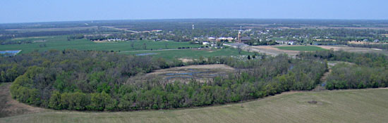
| Looking toward the northwest with St. Paul in the background. Trees follow meandering channels across the scene. |
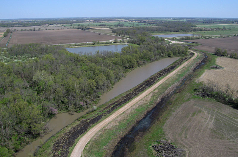
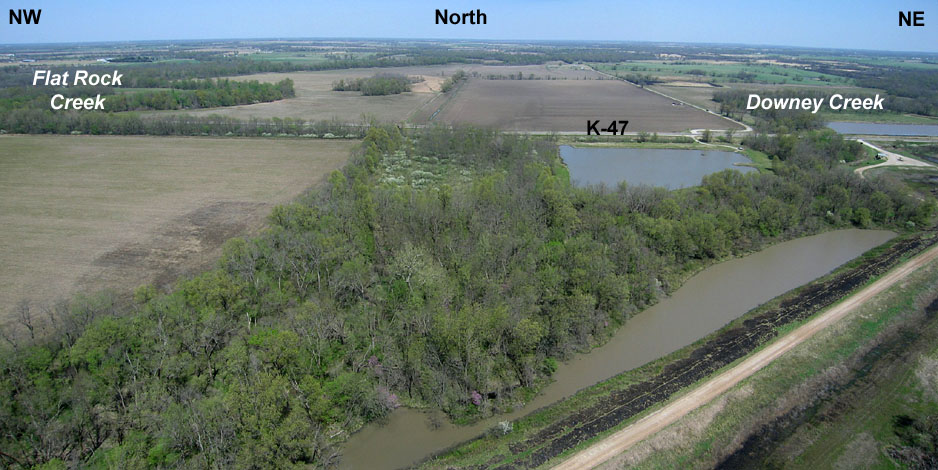
| View toward the northeast. Downey Creek is marked by the belt of trees and highway K-47 runs across the background. The gravel road in foreground follows a levee that had been burned a few days before our visit. Such prescribed burning limits the growth of woody vegetation. |
| Kite flyers are visible on left side of this view toward the southwest. The road and levee follow the meandering path of Downey Creek. |
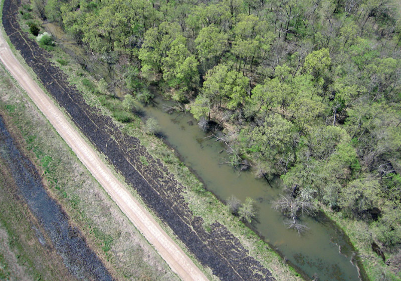
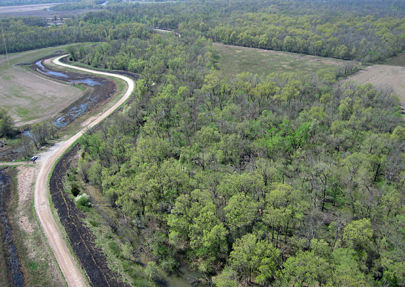
| Near-vertical shot of levee and access road. Downey Creek is the dark channel visible through trees on right side. The muddy pools at scene center are held behind a series of beaver dams. |
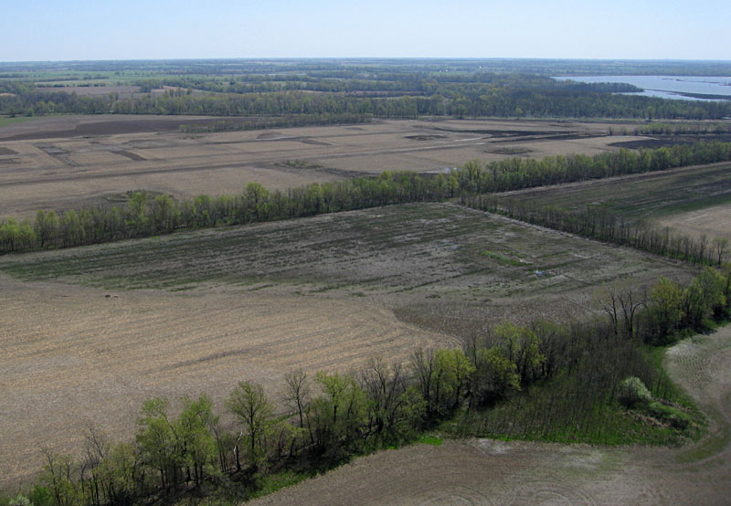
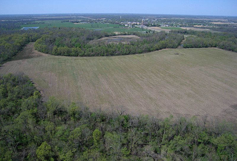
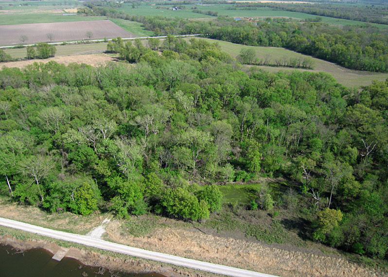
| View over agricultural fields looking toward the southeast. Part of the main pool appears at upper right (see southern portion). |
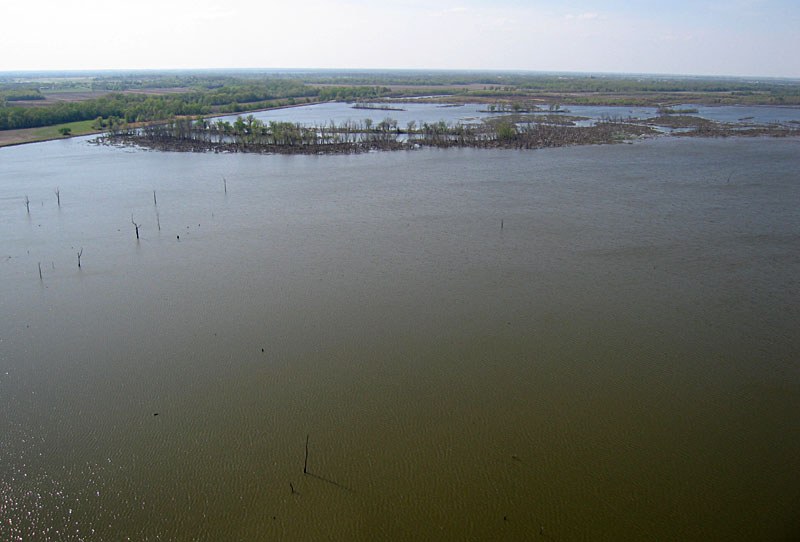
| Former stream channel in main pool. The trees grow on natural levees that stand above the pool along the edges of the old stream channel. Left: aerial view looking toward the northwest. Right: ground shot of trees along the channel. | 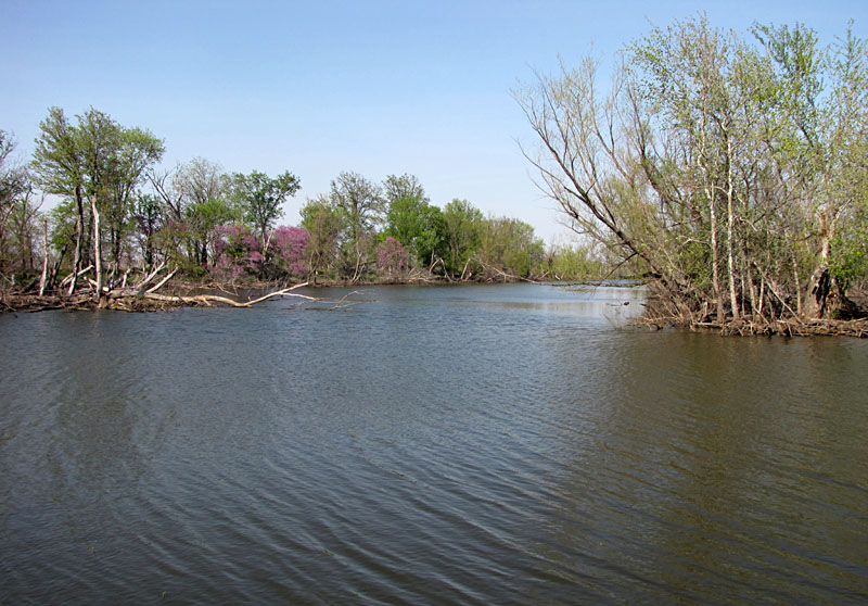
|

| View toward northeast showing the levee along the edge of the main pool and farmland beyond. |
| Looking toward the south, the kite flyers appear in the lower right corner, and the Neosho River can be seen in the background. |
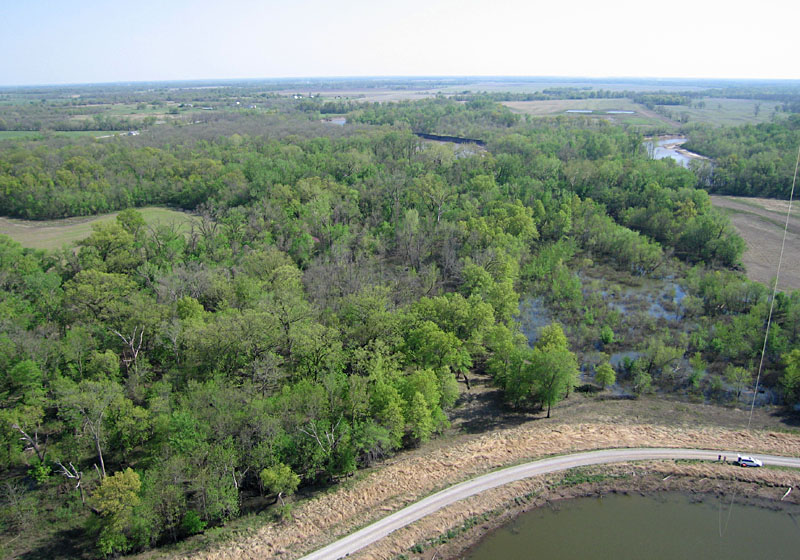
| Murphy Creek is the green channel in the forest just behind the levee in this low-oblique view toward the southeast. |
![]() Return to KAP gallery.
Return to KAP gallery.
Last update: May 2010.