Lawrence, Kansas
and vicinity

J.S. & S.W. Aber


Lawrence is a thriving city in northeastern Kansas, located between Kansas City and Topeka. Lawrence is home to the University of Kansas, a large, comprehensive, research university with nationally ranked programs in several subjects. The university also includes research agencies of the state, such as the Kansas Geological Survey and the Kansas Biological Survey. Lawrence is situated between the Kansas and Wakarusa rivers, which join just east of the city. The University of Kansas campus occupies Mount Oread, the high point between the two river valleys. All images © by the authors.

Views of the University of Kansas

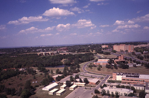
View toward north over West Campus area. This portion of campus contains various science research buildings, the state biological and geological surveys, a new performing arts center, and high-rise dormatories (right background). Photo date 9/98.
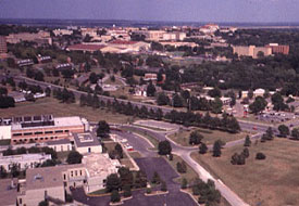
View toward northeast over main portion of university campus. Building on hill (upper left) constitute the central core of the university. Academic and administrative buildings are are situated on Mount Oread, along with various museums and the main student union. Photo date 9/98.

Clinton Lake, Kansas

Clinton Lake is an artificial reservoir on the Wakarusa River adjacent to the southwestern corner of Lawrence, Kansas. The dam and reservoir were constructed and are operated by the U.S. Army Corps of Engineers. Primary functions of the reservoir are flood control, water supply, and recreation.

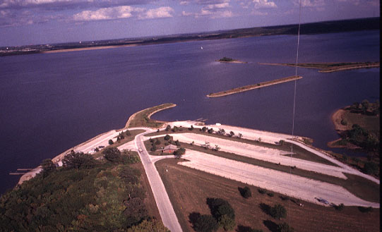
View toward the northeast showing the boat launch and harbor area. The dam is partly visible in the distance. The kite line and kite flyers can be seen toward right side of scene. Photo date 9/98.
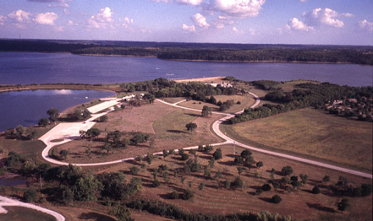
View toward the southeast over the beach and camping areas. These pictures were taken after Labor Day, the traditional end of summer sports in Kansas, so few people or boats are visible. Photo date 9/98.

Baker Wetland

This wetland is a nature preserve owned and managed by Baker University, a private college in nearby Baldwin, Kansas. The wetland adjoins the south side of Lawrence on the floodplain of the Wakarusa River. The wetland was acquired by Baker University in 1969 and is listed as a National Natural Landmark by the National Park Service (Boyd 1988). The site was formerly cleared, drained, and modified for agriculture. During the past three decades, efforts have been undertaken to restore the site to natural wetland conditions. The following pictures were taken with the assistance of Andy Schmidt (9/02).

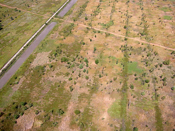
View toward the southwest. Artificial potholes (lower left & near center) are largely dry following a long, hot summer. Kite flyers are standing at the road intersection, which marks the center of the wetland site.
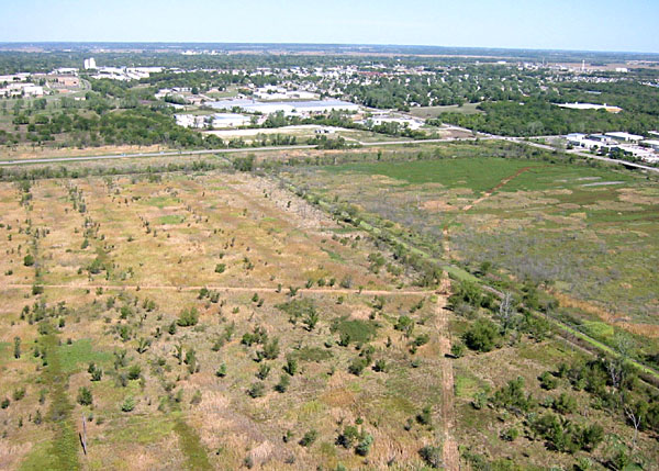
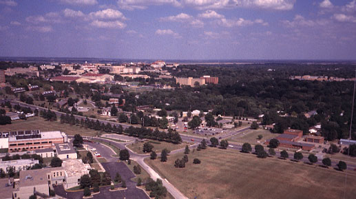
View toward the northeast with southeastern part of Lawrence visible in the background. The impact of human activities is clearly obvious in this scene--roads, buildings, trails, powerline, etc.
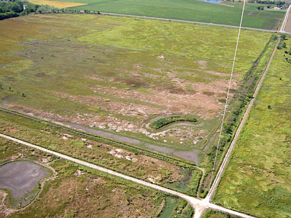
Low-oblique view of the north-central portion of the wetland. The signs of former agriculture are visible in the distinctive linear stripes.


Related sites

Reference


Return to KAP gallery.
Last update Oct. 2002.